| Directions
In the
Shelving Rock Falls
region, there are a number of drops on the stream we are
calling Shelving Rock Brook South Tributary.
|
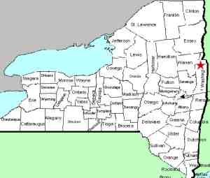
| County: |
Washington |
| Town: |
Fort Ann |
| USGS Map: |
Shelving Rock |
| Waterway: |
Shelving Rock
Brook South Tributary |
| Latitude: |
N 43°
32' 56.544" |
| Longitude: |
W 73°
35' 25.152" |
| Drop: |
~ 5' |
| Type: |
Slide |
| Region: |
Off NY 149
west of Fort Ann |
| Parking: |
Unpaved |
| Trail type: |
Dirt |
| Length of
hike: |
~ 1.5
mile, round-trip |
| Difficulty: |
Easy-moderate |
| Accessibility: |
Public |
| Name: |
Unnamed |
|
For the entries that we are referring to as Shelving Rock
Brook South Tributary Falls #1 through #12, this will be a
cumulative hike, starting at Falls #1. This is
entirely off trail, not too bad as far as bush whacking
goes.
The low water levels helped as I crossed
over the tributary multiple times on my journey depending on
the terrain. Most of the time I was on the left (north)
side of the tributary. The most significant waterfalls on
this segment are Falls #2 & #10, but there are definitely at
least 2 or 3 more as well as several more nice features which
some people may or may not consider a waterfall, but
beautiful regardless.
Additionally, almost everything
I found was located between Falls #1 and the the upper road
crossing, there was nothing beyond the upper road crossing.
The bottom portion of the tributary was just flat
and rocky. From the time I arrived at the first feature
until I got back to the road was almost exactly an hour.
Driving Directions - I'll give 2 options:
1) as you approach the Dacy Clearing Parking Lot, take a
sharp left turn to stay on Shelving Rock Road. Go approx 1
mile, on the right side just before the road goes over the
tributary there is a small parking lot. You can park there
and walk down the road about 1 mile to a small parking spot
for campsite #12. Walk
into the parking spot and then straight down to the
tributary from there, then start working your way upstream.
2) Take Shelving Rock Road
all the way to Parking Lot #1 for Shelving Rock
Falls/Mountain then either walk 3/10 mile up to Campsite #12
parking spot or enter Shelving Rock Brook near Parking Lot
#1 and walk upstream staying to the right when the stream
splits after a short distance.
The first feature, pictured below, is a 5'
slide which is just downstream from campsite #12. The first
photo was taken on May 13, the second one on August 17 and
you can clearly see the difference in water levels.
Shelving Rock Brook empties into Lake George. The water
from this then flows through La Chute into Lake Champlain.
The flow then goes north through Canada on the Richelieu River and
empties into the St. Lawrence River.
Webmaster's note: Our thanks to Gary Dilmore for the
information and pictures of all of the entries on the South
Tribuatary.
Last update: May 15, 2026
|


