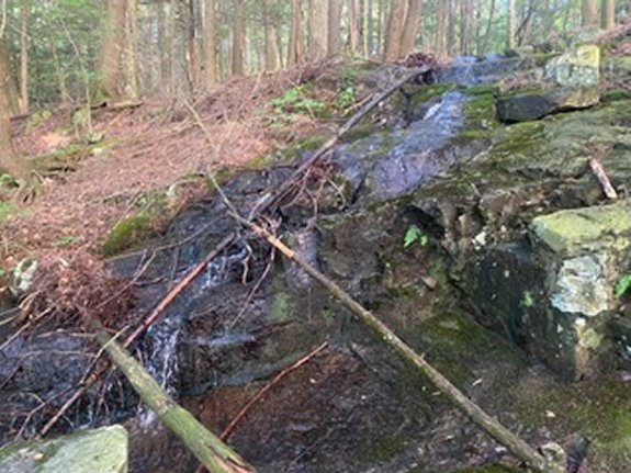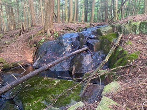
The good news is that the
base of Falls #4 is only
about 20 yards from the top
of Falls #3 so the hard
climb is over! Falls #4 is
about 20' tall and like
Falls #3 the nicer looking
portion is the top.
For the hike back to your
car you have two options.
You can retrace your steps
back to the car or you could
do what I did, which is head
over to the Prospect
Mountain Trail (blue
medallions) and take that back to your
car. This is where GPS
tracking will come in handy.
I followed the stream up a
little beyond the top of
Falls #4, maybe 100 yards,
then headed in a northeast
direction following the
contour of the land (not the
most direct route) and
reached the trail in about
0.2 miles. Once I reached
the Prospect Mountain Trail
I turned right on the trail
for a 2 mile hike back to my
car.
I will try to get back to
this series of falls in the
spring when there should be
more water flowing and will
update with new photos then.