| Directions
From I-87 south of Lake George village, take NY 9N
west. Park at the Clark Mularz Memorial Field
in the Lake George Recreation Area (which for some
reason has an address of Lake Luzerne). You'll turn
off NY 9N onto Transfer Road, go past the transfer
station and a gravel business, keep going uphill
toward the ball fields and once you arrive to a
large parking lot, park on the left, back side, near
the trailhead.
|
| County: |
Warren |
| Town: |
Lake George |
| USGS Map: |
Lake George |
| Waterway: |
West Brook |
| Latitude: |
N 43° 24' 14" |
| Longitude: |
W 73° 43' 55" |
| Drop: |
15' |
| Type: |
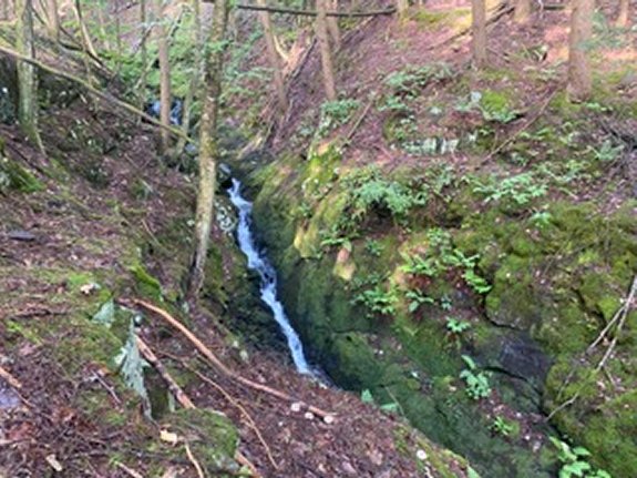
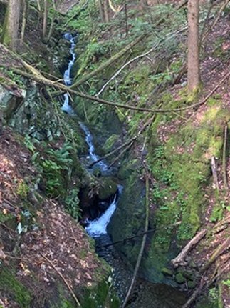
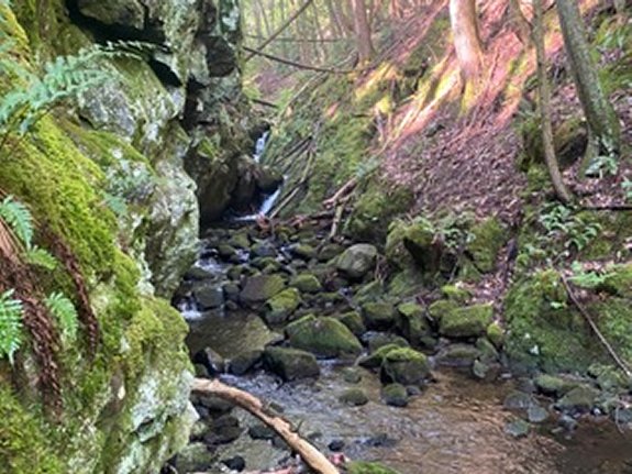
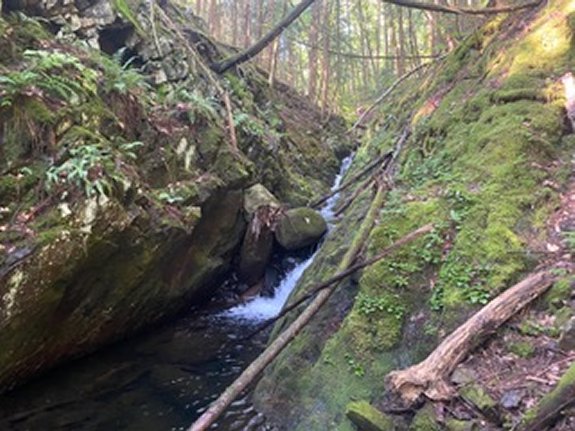
Ribbon cascade |
| Region: |
Southwest of
Lake George village |
| Parking: |
Parking lot |
| Trail type: |
Dirt |
| Length of hike: |
0.25 mi
one-way |
| Difficulty: |
Easy |
| Accessibility: |
Public |
| Name: |
Unnamed |
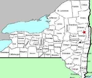
|

Please note that in order to view all 5
waterfalls on West Brook, you will start the
hike by heading to First Falls, then on
to Second Falls. With a series of unnamed
falls on a waterway, we typically start
numbering them from the most downstream
waterfall and then increase as we go upstream.
At the trailhead, there are several trails. You
want the trail with the Blue Medallion labeled "To Berry Pond, Guard Help Way". Go
about 100 yards and the trail will take a sharp
left turn. Just a few yards after the left
turn, there will be a path on the right that
leads downhill to a picnic table. Take this
path.
Continue past the picnic table and in
about 50 yards you will come to a small pond
that is dammed up. Continue past the pond down
the dirt road for about another 50 yards and
pick an opening in the wooded area on the left
to walk toward West Brook. If you get to a
building, you went too far.
There is no path to follow,
but the brook is only about 30-40 yards from the
road and is pretty easy to walk through. Once
you get next to the stream you may notice a path
that runs along side the stream, you can use
this to make it a little easier to navigate. Be
careful in this area, West Brook is in a very
steep gorge at this point so be extra careful as
you work your way into position to view and
photograph the falls. Depending on the path you
took to get from the road to the brook, you may
come out right at Second Falls or just above it,
but you should be able to see it regardless.
You can view Second Falls now, or stop on your
way back upstream after viewing First Falls. To
get to First Falls, hike downstream for about 50
yards and you will see it from above. About 40
yards downstream from the falls I found a place
where I could get down to the brook for a closer
look but the view from above is a bit better.
This drop is a 15" ribbon cascade.
Our thanks to Gary Dilmore for the
photos and information on this location.
West Brook empties into Lake George. The water from this then
flows through La Chute into Lake Champlain. The flow then goes
north through Canada on the Richelieu River and empties into the
St. Lawrence River.Last update: October 31, 2026
|