| Directions
In the hamlet of Santa Clara, go north on South River
Road. In a little less than 1/2 mile, there is a road or
trail off to the right. This is beyond the parking
area with large boulders that we described in the entry
for Santa Clara
Lower Falls. This drop appears to be
somewhere just upstream from the end of this trail.
|
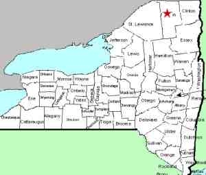
| County: |
Franklin |
| Town: |
Santa Clara |
| USGS Map: |
Santa Clara |
| Waterway: |
St. Regis
River |
| Latitude: |
N 44°
38' 33" |
| Longitude: |
W 74° 27'
45" |
| Drop: |
NA |
| Type: |
NA |
| Region: |
North of the hamlet
of Santa Clara |
| Parking: |
NA |
| Trail type: |
NA |
| Length of
hike: |
NA |
| Difficulty: |
NA |
| Accessibility: |
NA |
| Name: |
Unnamed |
|
A contributor has recently alerted us to a location that we
have dubbed Santa Clara Lower Falls. While searching
on-line mapping applications and topo maps, we discovered what
appears to be a drop at this point.
Please be aware that we have not yet visited this spot but
plan to sometime during the summer of 2024. This is merely
conjecture at this point.
If anyone has any additional information on this location, please
feel free to contact us.
The St. Regis River flows north into Canada and then empties
into the St. Lawrence River a short distance downstream from the
New York/Quebec border.
Updated: May 13, 2024
|


