Northern New York Waterfalls
Home Alphabetical List County List Listed By River  Bookstore  Official Falls  Submit Pics  Credits
Slideshow  Definitions  Disclaimers  Rivers of NY  Covered Bridges Coordinate Conversion Contact Us  Links 

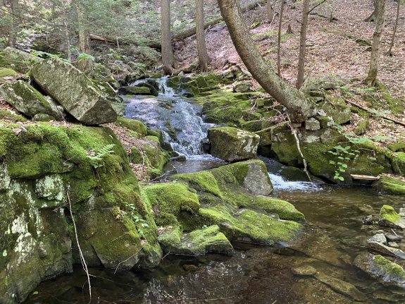
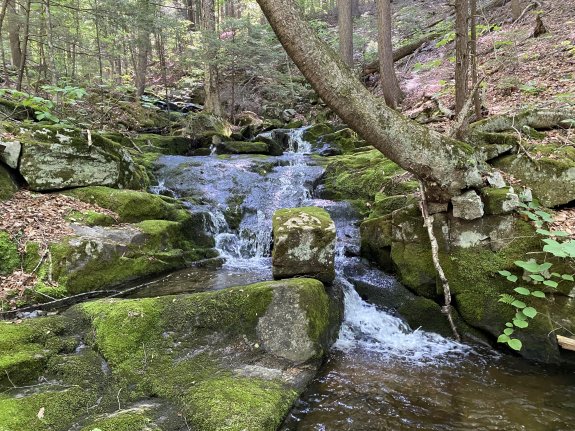
Shelving Rock Brook Upper Falls #9

Directions

This is a continuation of the hike on the upper section of the Shelving Rock Brook.

County: Washington
Town: Fort Ann
USGS Map: Shelving Rock
Waterway: Shelving Rock Brook
Latitude: N 43° 33' 52"
Longitude: W 73° 34' 12"
Drop: 6'
Type: Cascade
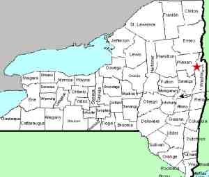
Region: Off NY 149 west of Fort Ann
Parking: Unpaved parking area
Trail type: Dirt
Length of hike: 1.9 mile, one-way
Difficulty: Moderate
Accessibility: Public
Name: Unnamed

Putnam Mt. Quadrangle

After viewing Waterfall #8 return too the Erebus Trail and continue up for .1 mile.  Waterfalls #9 and #10 will be on the right side.  You'll need to head over to the brook and work your way downstream just a bit to get to the base of #9 which is about 6' tall.

Shelving Rock Brook empties into Lake George.  The water from this then flows through La Chute into Lake Champlain.  The flow then goes north through Canada on the Richelieu River and empties into the St. Lawrence River.

Please note that the Shelving Rock Brook is officially named but these tributaries and the falls on them are unnamed.  We have chosen these monikers to simplify the cataloging of the waterfalls.

Webmaster's note:  Our thanks to Gary Dilmore for the information and pictures of this location.

Last update:  August 25, 2026

Hover on any of the thumbnails to see an enlarged image

Shelving Rock Brook Upper Falls #9 Shelving Rock Brook Upper Falls #9

©2026
Reproduction of this World Wide Web Site in whole or in part is prohibited without permission. All rights reserved.
 Trademarks and copyrights are the property of the respective owners and may not be used without permission.
nnywaterfalls.com is a service of Fourth Coast Creations