| Directions
This is a continuation of the hike on the upper
section of the Shelving Rock Brook.
|
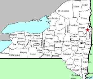
| County: |
Washington |
| Town: |
Fort Ann |
| USGS Map: |
Shelving Rock |
| Waterway: |
Shelving
Rock Brook |
| Latitude: |
N 43° 33'
51" |
| Longitude: |
W 73° 34'
17" |
| Drop: |
8' |
| Type: |
Cascade |
| Region: |
Off NY 149
west of Fort Ann |
| Parking: |
Unpaved parking
area |
| Trail type: |
Dirt |
| Length of
hike: |
1.8 mile,
one-way |
| Difficulty: |
Moderate |
| Accessibility: |
Public |
| Name: |
Unnamed |
|
After leaving waterfall #7 you're going to want to work your
way over to the Erebus Mountain Trail, which will be your
friend for the rest of the hike. I scrambled up the right
embankment of waterfall #7 (as you face upstream), walked
upstream a few hundred yards and looked for a safe place to
cross the brook. The Erebus Mountain Trail is on the left
side of Shelving Rock Brook and runs very close to it most
of the way up, so find a path that work for you to get to
the trail.
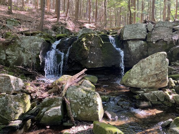
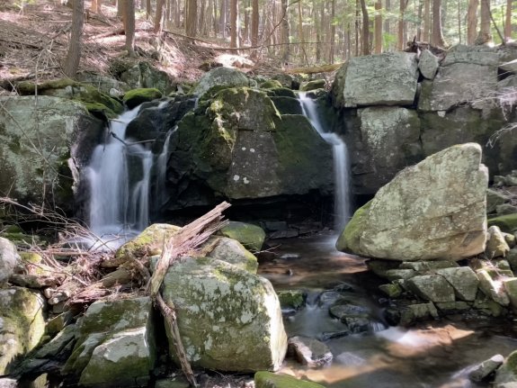
Waterfall #8 its 8' tall and is about a
half mile from Waterfall #7, you can easily see it from the
trail.
Shelving Rock Brook empties into Lake George. The water
from this then flows through La Chute into Lake Champlain.
The flow then goes north through Canada on the Richelieu River and
empties into the St. Lawrence River.
Please note that the Shelving Rock Brook is
officially named but these tributaries and the falls on them are
unnamed. We have chosen these monikers to simplify the
cataloging of the waterfalls.
Webmaster's note: Our thanks to Gary Dilmore for the
information and pictures of this location.
Last update: August 25, 2026
|