Northern New York Waterfalls
Home Alphabetical List County List Listed By River  Bookstore  Official Falls  Submit Pics  Credits
Slideshow  Definitions  Disclaimers  Rivers of NY  Covered Bridges Coordinate Conversion Contact Us  Links 

Ironville Falls

Directions
Follow CR 2 to the Hamlet of Ironville NY, just outside of Crown Point.  
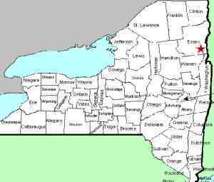
County: Essex
Town: Crown Point
USGS Map: Eagle Lake
Waterway: Unnamed feeder of Penfield Pond
Latitude: N 43° 55' 19"
Longitude: W 73° 32' 23"
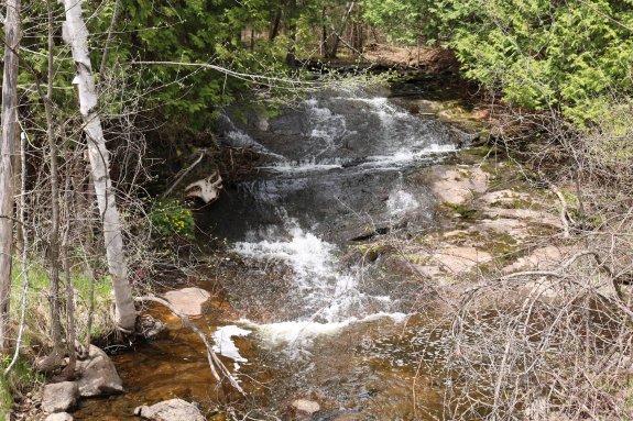
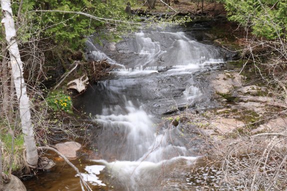
Drop: 8'
Type: Slide
Region: West of Crown Point
Parking: Roadside
Trail type: Roadside
Length of hike: Roadside
Difficulty: Easy
Accessibility: Public
Name: Unnamed

Crown Point Quadrangle

Ironville FallsIn the hamlet of Ironville, Penfield Road enters from the north.  West of this, Creek Road splits into Old Furnace Road and Corduroy Road.  Between these two intersections and closer to the west end, there is an unnamed creek that crosses CR 2/Creek Road, entering into Penfield Pond. 

Park on the roadside near a set of guard rails on the north side of the highway.  Looking north, you will see this drop. 

We took pictures and a video of this drop in May 2016 but somehow overlooked them until September 2026!  When we found them, we suspected where the site was.  With the help of prolific contributor Gary Dilmore and Google Maps street view, we were able to confirm the location.

This feeder of Penfield Pond empties into Putnam Creek which flows directly to Lake Champlain.  Its outlet is in the region of Gilligans Bay, just east of Crown Point

Last update:  September 24, 2026

HoHover on any of the thumbnails to see an enlarged image

Ironville Falls Ironville Falls

©2026
Reproduction of this World Wide Web Site in whole or in part is prohibited without permission. All rights reserved.
 Trademarks and copyrights are the property of the respective owners and may not be used without permission.
nnywaterfalls.com is a service of Fourth Coast Creations