| Directions
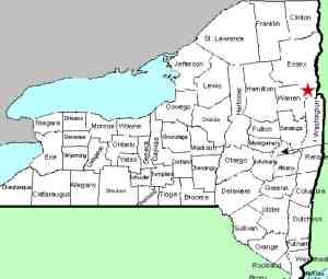
From I-87, exit 22, take NY 9N north toward Bolton Landing.
Six miles north of the village of Bolton Landing, the highway
will cross the Northwest Bay Brook. Just after crossing
the bridge, there is a parking area on the right.
|
| County: |
Warren |
| Town: |
Bolton |
| USGS Map: |
Silver Bay |
| Waterway: |
Northwest Bay Brook |
| Latitude: |
N 43° 37' 42" |
| Longitude: |
W 73° 36' 29" |
| Drop: |
15' |
| Type: |
Slide |
| Region: |
Off NY 9N north of Bolton Landing |
| Parking: |
Paved and unpaved lots |
| Trail type: |
Dirt |
| Length of hike: |
0.1 mile |
| Difficulty: |
Moderate |
| Accessibility: |
Public |
| Name: |
Unnamed |
|
The parking area here holds a dozen or so cars
but it is very possible that it may be full when you visit.
Simply continue a little further along the highway and there is
a dirt road leading in to another parking lot.
After viewing the upper and middle falls, continue downstream
back toward the highway. The river will take a sharp bend
to the right. The lower drop is located here. It drops into a large pool.
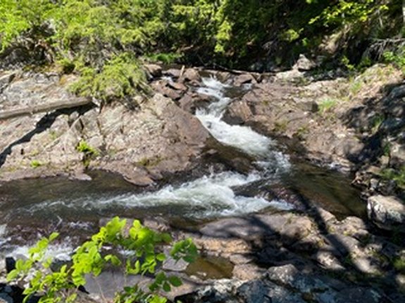
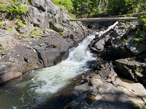
The first photo in our array shows the upper portion of the
lower falls as it goes around the bend. The second photo is the
lower portion of the lower falls as it empties into a large
pool. Both photos taken from the east side of the river.
The Northwest Bay Brook empties into Lake George.
The water from this then flows through La Chute in Ticondaroga and
ends up in Lake Champlain. The flow then goes north through
Canada on the Richelieu River and empties into the St. Lawrence
River.
Webmaster's note: For many years, we have listed this area
simply as Northwest Bay Brook Falls, indicating and an upper and
a lower section. We have recently become aware that a
third drop is present just downstream from this portion so we
have broken them down into the Upper, Middle and Lower Falls.
Our thanks to Gary Dilmore for providing information on this
location and for the photos of this drop.
Last update: August 23, 2026
|