Directions
This is a continuation of our hike to the waterfalls
on English Brook. Please access this region by
following the directions on our entry for
English Brook Lower Falls. |
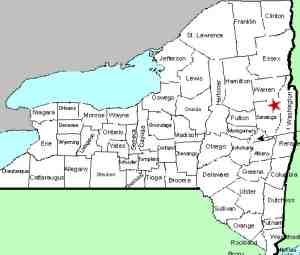
| County: |
Warren |
| Town: |
Lake George |
| USGS Map: |
Lake George |
| Waterway: |
English Brook |
| Latitude: |
N 43° 27' 43" |
| Longitude: |
W 73° 45' 50" |
| Drop: |
7' |
| Type: |
Cascade |
| Region: |
Northwest of
Lake George village |
| Parking: |
Roadside |
| Trail type: |
Dirt |
| Length of hike: |
1.2
one-way |
| Difficulty: |
Easy |
| Accessibility: |
Public |
| Name: |
Unnamed |
|
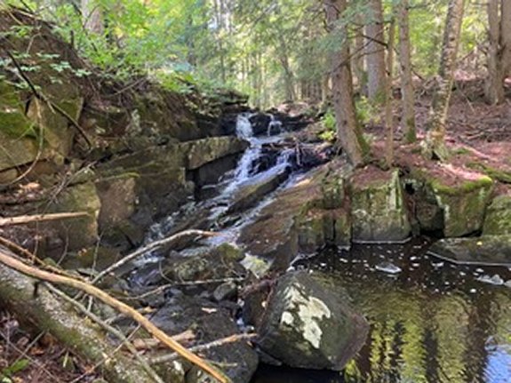
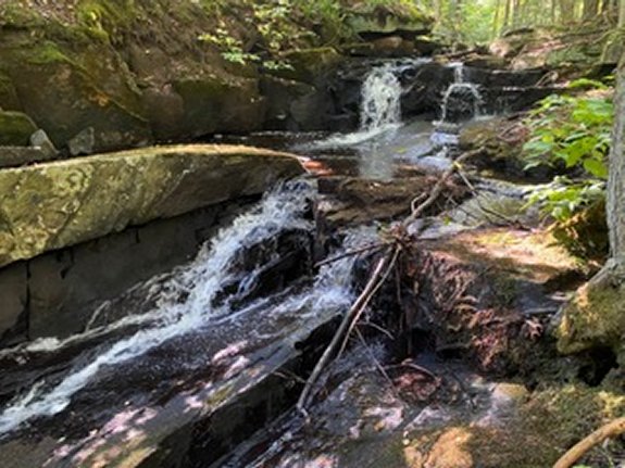
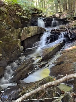
From the Middle Falls, continue up
the road for another 0.3 miles (1.2
miles from where you parked) to the
Upper Falls. You can see the falls
from the road but trees are in the
way blocking the best views. The
good news is that in this area, the
No Trespassing signs are on the
opposite side of the brook so a
short scramble down the embankment
will take you to the base of this 7'
falls, our favorite of the three
falls on this hike.
At this
point you can turn around and hike
back to your car. FYI, we did
continue up the road another quarter
mile to the gate where the road
becomes private. There is a pond
off to the left but it was heavily
posted as private so we did not
venture over to see it.
Our thanks to Gary Dilmore for the photos and
information on this location.
English Brook is at the north end of
the village of Lake George. This flows into Lake George,
which, in turn,
flows through La Chute into Lake Champlain. The flow then goes
north through Canada on the Richelieu River and empties into the
St. Lawrence River.Last update: November 4, 2026
|