| Directions
This is a continuation of our hike on the Butternut
Brook Tributary.
|
| County: |
Washington |
| Town: |
Fort Ann |
| USGS Map: |
Shelving Rock |
| Waterway: |
Butternut Brook
Tributary |
| Latitude: |
N 43° 30'
31" |
| Longitude: |
W 73° 35'
59" |
| Drop: |
10' |
| Type: |
Cascade |
| Region: |
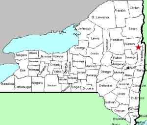
Off the
eastern shore of Lake George |
| Parking: |
Unpaved parking
area |
| Trail type: |
Dirt |
| Length of
hike: |
1.9 mi,
one-way |
| Difficulty: |
Moderate
to vigorous |
| Accessibility: |
Public |
| Name: |
Unnamed |
|
Falls #6 is only about 30 yards upstream from
Falls #5 and viewable from the trail, although
you’ll want to get a little closer to get a good
look.
This drop is about 10' tall,
surrounded by large boulders.
At this point you have a few options. You can
turn around an hike back to your car, or if you
have some extra energy, continue up the trail to
the summit of Buck Mountain. That is what we
did and it totaled about 7.5 miles and just over
2,000' of elevation gain.
This tributary flows into the Butternut Brook just above
Butternut Brook Falls #4. Butternut Brook empties into Lake George.
The flow then goes north through LaChute, Lake Champlain and
then through Canada on the Richelieu River. It eventually
empties into the St. Lawrence River.
Webmaster's note: Our thanks to Gary Dilmore for the pictures,
directions and information on this waterfall.
Last update: July 28, 2026
|