When you reach the point in the directions side-bar, you
will see Falls #2 off to your left. To get to Falls
#1, cross the stream on the trail and head to your right to
go downstream. The top of the falls is only about 20
yards from the trail. Most people hiking the trail
don't even know it is there. The descent to the base gets a
little steep but if you swing a little wide it is a little
easier to navigate.
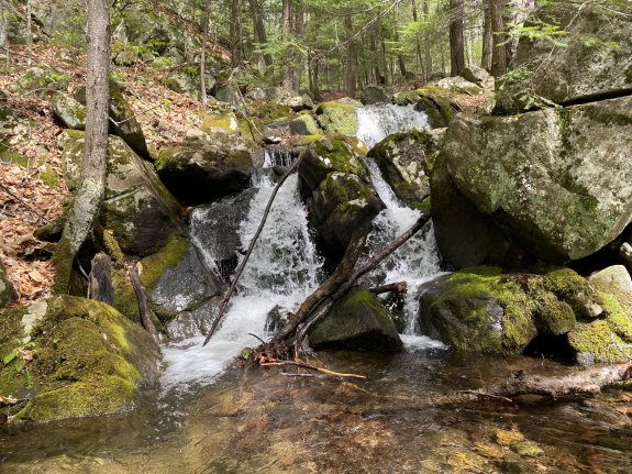
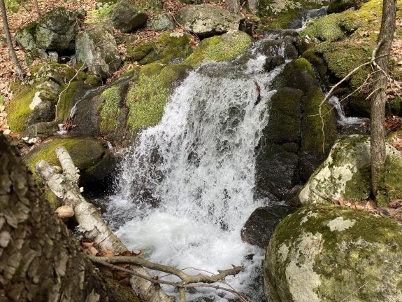
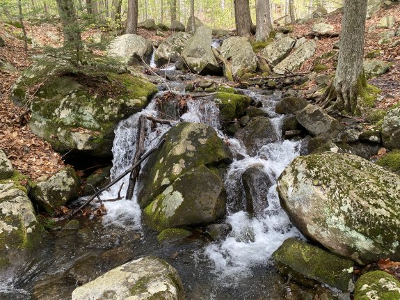
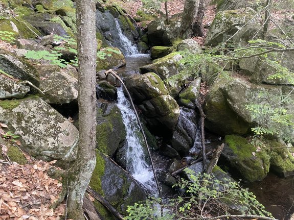
Falls #1 is a three part waterfall that totals about
20'. It is not possible to get a good photo of all
three drops together so we have provided three photos. The first photo is from the base where you can see
the lower and middle parts. The second photo is the
middle part and the third photo is the upper part.
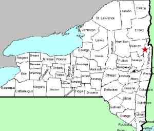
This tributary flows into the Butternut Brook just above
Butternut Brook Falls #4. Butternut Brook empties into Lake George.
The flow then goes north through LaChute, Lake Champlain and
then through Canada on the Richelieu River. It eventually
empties into the St. Lawrence River.
Webmaster's note: Our thanks to Gary Dilmore for the pictures,
directions and information on this waterfall.
Another webmaster's note: Since this is in the same
general area as the falls on Butternut Brook, you can actually
reach this drop by hiking the four falls on the Butternut Brook
and then continuing upstream and head up the tributary.
The preferred way to get to the first waterfall on the tributary
is to continue upstream on Butternut Brook and then proceed up
the right side of the tributary (your right side/river left).
You get better photo opportunities from that side of the
waterway. Another option would be to climb to your left at
Butternut Brook Falls #4 to get to the trail which takes you to
the tributary.
Last update: September 4, 2026
|