| Directions
This is a continuation of the hike in this area which
contains three drops. Please refer to the entry for
Boquet River Falls #1 at Route 73
for directions and other specifics about this area.
|
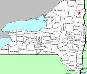
| County: |
Essex |
| Town: |
Keene |
| USGS Map: |
Keene |
| Waterway: |
Boquet River, North Fork |
| Latitude: |
N 44o 06' 47" |
| Longitude: |
W 73o 42' 37" |
| Drop: |
12' |
| Type: |
Ribbon Block |
| Region: |
NY 73 between Keene and I-87 |
| Parking: |
Unpaved lot/roadside |
| Trail type: |
Dirt |
| Length of hike: |
<0.1 mile/3 minutes |
| Difficulty: |
Easy |
| Accessibility: |
Public |
| Name: |
Unnamed |
|
 It
is necessary to make your way up a trail on the river left (the
right side as you are facing upstream) side of the stream to see
this drop.
The waterway makes a slight bend just upstream
of Falls #3 which prevents viewing this uppermost drop from the
roadside.
The North Fork of the Boquet River joins the south fork just
downstream from here, shortly before the routes 73 and 9 interchange.
The Boquet then flows into Lake Champlain near Willsboro, New York.
Last update: November 6, 2026
|