| Directions
This is a continuation of the hike in this area which
contains three drops. Please refer to the entry
for
Boquet River Falls #1 at Route 73 for directions and
other specifics about this area.
|
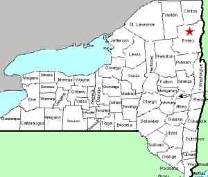
| County: |
Essex |
| Town: |
Keene |
| USGS Map: |
Keene |
| Waterway: |
Boquet River, North Fork |
| Latitude: |
N 44o 06' 48" |
| Longitude: |
W 73o 42' 34" |
| Drop: |
6' |
| Type: |
Ribbon Block |
| Region: |
NY 73 between Keene and I-87 |
| Parking: |
Unpaved lot/roadside |
| Trail type: |
Dirt |
| Length of hike: |
<0.1 mile/3 minutes |
| Difficulty: |
Easy |
| Accessibility: |
Public |
| Name: |
Unnamed |
|

From the northeast side of the highway in the area where the
creek runs under the road, there are trails that take you to the river bank.
The middle section, a total drop of about six feet, is under the
bridge and comprised of a series of steps and slides. If you
look closely on the lower side of the bridge, there are still icicles
hanging. We were there on April 13, 2012, which was an unusually
warm, dry and early spring, but ice and snow were still present
here.
The North Fork of the Boquet River joins the south fork just
downstream from here, shortly before the routes 73 and 9 interchange.
The Boquet then flows into Lake Champlain near Willsboro, New York.
Last update: November 6, 2026
|