| Directions
Take Exit 17 from I-87 and go south
on US 9 briefly. The old Saratoga Road will exit
right. Take this and then the first right on the
Mountain Road. Spier Falls Road will be the first
left. This waterfall will be on your left just
beyond the Spier Falls Power facility, a little over
3 miles down this road.
|
| County: |
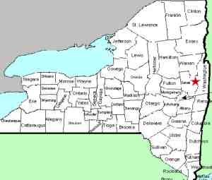
Saratoga |
| Town: |
Moreau |
| USGS Map: |
Corinth |
| Waterway: |
Unnamed stream
feeding the Hudson River |
| Latitude: |
N 43°
13' 57" |
| Longitude: |
W 73°
45' 20" |
| Drop: |
25' |
| Type: |
Ribbon slide |
| Region: |
North of Saratoga
Springs |
| Parking: |
Roadside |
| Trail type: |
Dirt |
| Length of
hike: |
1 minute |
| Difficulty: |
Easy |
| Accessibility: |
Public |
| Name: |
Unnamed |

|
This is a small, unnamed
waterfall just north of the Spier Falls Hydro-electric facility.
In fact, the stream that it is on isn't even named. It was
found quite by accident. We stopped to take pictures of the
Spier Falls Dam and when exiting the car, heard the water.
We were literally across the road. The bottom of this falls
is only a few feet off the Spier Falls Road, hence the named we
have attached to it. Our pictures were taken on a Memorial Day and as they show, there
wasn't a huge amount of water running. The rocks that it was
flowing over were very smooth, which would imply that the stream
is, or has been, very active. We suspect however, that this
stream may be somewhat seasonal in nature.
This stream empties in the Hudson River about 400' from this
point. The Hudson flows into the Atlantic Ocean.
Last update: October 12, 2016
|


