| Directions
Since this waterfall is on private property, we are
not providing specific details on its access.
|
| County: |
Jefferson |
| Town: |
Watertown |
| USGS Map: |
Rutland Center |
| Waterway: |
Unnamed waterway |
| Latitude: |
N 43°
57' 47" |
| Longitude: |
W 75° 51' 41" |
| Drop: |
20' |
| Type: |
Cascade |
| Region: |
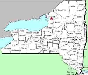
Just east of Watertown |
| Parking: |
NA |
| Trail type: |
NA |
| Length of hike: |
NA |
| Difficulty: |
NA |
| Accessibility: |
Private |
| Name: |
Unnamed |

|
This cascade type waterfall lies a short distance upstream of
Butternut Falls on the east side of the city of Watertown.
Both of these falls are on private property and the only way we
know of reaching this one is up the creek, which would require
climbing Butternut!
The information we have is that young
people would swim and concregate at Butternut back in the 50s
through the 80s. Some would climb the falls and go up to
this one.
This waterfall is not named. It is on an
unnamed creek that has its origin in the Rutland Hollow area.
This is a gorge/canyon area east of the city. Because of
its location, we have dubbed it Rutland Hollow Falls. Some
of the locals back in those days referred to it as Second Falls.
Where Butternut was the "first" falls, this one above it became
Second Falls.
If anyone has any additional information on
this location, please contact us.
This creek flows into
the Black River north of here and just outside the city limits.
The Black finds its way to Lake Ontario in Dexter, New York.
Last update: July 2, 2017
|


