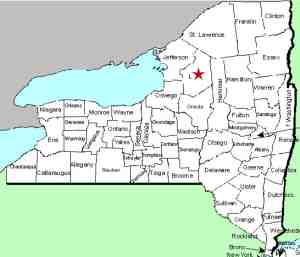
| Directions
On NY 12 in the southern part of the
village of Lowville, proceed south for about 1.5 miles
from the intersection of NY 12 and NY 26. About
700 feet up this road behind an old schoolhouse on
the right, this waterfall, if flowing, may be visible.
|
| County: |
Lewis |
| Town: |
Martinsburg |
| USGS Map: |
Lowville |
| Waterway: |
Unnamed waterway |
| Latitude: |
N 43°
45' 49" |
| Longitude: |
W 75°
27' 48" |
| Drop: |
50' |
| Type: |
A series
of ribbon cascades |
| Region: |
South of the
village of Lowville |
| Parking: |
Roadside |
| Trail type: |
Roadside |
| Length of
hike: |
Roadside |
| Difficulty: |
Easy |
| Accessibility: |
Private |
| Name: |
Unnamed |

|
 We found out about this during a waterfall presentation
we made in Lowville. It literally took us two years to
actually see it. A year or so after first learning about
it, a local historical society had an open house at the
schoolhouse here. Its location was clarified to us then. We found out about this during a waterfall presentation
we made in Lowville. It literally took us two years to
actually see it. A year or so after first learning about
it, a local historical society had an open house at the
schoolhouse here. Its location was clarified to us then.
This is a seasonal waterway and the viewing
window is very limited. Foliage is also an issue.
Because of the distance to the falls and the angle that it
descends this hillside, even without foliage it is difficult to
see the upper half of it.
If you look closely at our photographs, the
lower drop is obvious. Almost directly above this at the
top of the embankment, the initial descent is barely visible.
For the top 20% or so, it goes to the viewing right where is
drops straight down. This makes up about 1/2 of the total
drop. The final 30% of the waterfall is crossing to the
viewing left until the final plunge. By the time leaves
come out on the trees, if there is any water flowing, it is
almost totally obscured from the road view.
The waterway containing this waterfall is not
charted on topographical maps. That leads us to assume
that this is run-off. Our usual way of labeling an unnamed waterfall is to identify it
by the waterway that it is on. Since this stream is not named,
we have chosen to use the road name from which it is seen.
This stream flows into the Black River about a mile
downstream from here. The Black flows into Lake Ontario in
Dexter.
Updated: April 19, 2017
|


