| Directions
In the hamlet of Santa Clara, go north on South River
Road. Park at the second parking area where there are
three big stones blocking motor vehicles.
|
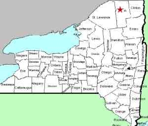
| County: |
Franklin |
| Town: |
Santa Clara |
| USGS Map: |
Santa Clara |
| Waterway: |
St. Regis
River |
| Latitude: |
N 44°
38' 10" |
| Longitude: |
W 74°
27' 29" |
| Drop: |
NA |
| Type: |
NA |
| Region: |
In the hamlet
of Santa Clara |
| Parking: |
North of the hamlet
of Santa Clara |
| Trail type: |
Dirt |
| Length of
hike: |
NA |
| Difficulty: |
Easy |
| Accessibility: |
Public |
| Name: |
Unnamed |
|
We have recently become aware of this location from the input of
a contributor.
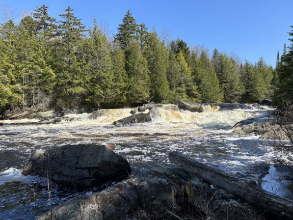
From the parking spot, there is an
unmarked, but easy to follow trail to the river. I always
assumed it was for fishermen. When you can hear the roar of the
river, there will be a side trail on the right, that leads to
the top of the falls. Continuing on the main trail you come out
at the base of the falls. No posted signs - it appears to be
state land.
Their directions are fairly precise and we
are planning a trip there sometime in 2024.
We have
dubbed this Santa Clara Lower Falls because it is just
downstream from a drop in the region of that hamlet.
Although we have not been able to gain access to that drop, we
have had it listed as Santa Clara Falls for many years.
The St. Regis River flows north into Canada and then empties
into the St. Lawrence River a short distance downstream from the
New York/Quebec border. Updated: May 13, 2024
|