| Directions
This waterfall is located on the Buttermilk
Falls Road in the town of Fort Ann. It is on
the west side of the highway, just north of the Twiss
Road junction. It is on private
property.
|
| County: |
Washington |
| Town: |
Fort Ann |
| USGS Map: |
Putnam Mt |
| Waterway: |
Sly Pond Outlet |
| Latitude: |
N 43°
25' 21" |
| Longitude: |
W 73°
35' 17" |
| Drop: |
~ 60' |
| Type: |
Cascade |
| Region: |
Off NY 149
west of Fort Ann |
| Parking: |
Roadside |
| Trail type: |
Roadside |
| Length of
hike: |
NA |
| Difficulty: |
NA |
| Accessibility: |
Private |
| Name: |
Official |

|
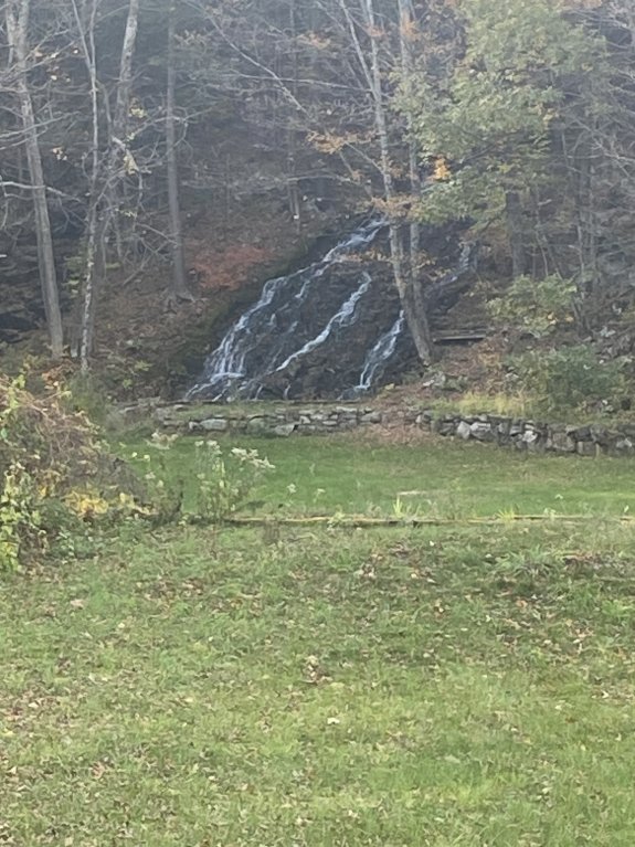
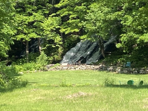
For several years, we had indicated that this waterfall is on
private property and is not viewable from the highway. We
subsequently discovered that this is only half true!
In 2023, we were contacted by
Gary Dilmore who lived
in that area. It is on private property but, in fact, it is visible from the highway.
He has contributed pictures for us to use. He
has also noted that due to traffic on Buttermilk Falls Road, it
is best to park on Twiss Road across the road. Please
enjoy the view from the roadside.
The creek
is not labeled on maps but appears to be the outlet of the Sly Pond.
It is on private property but is an officially named waterfall.
It is one of three waterfalls in Washington County listed on the
USGS GNIS.
The outlet of Sly Pond flows into the Halfway Creek just west
of Fort Ann. This empties into the Champlain Canal at Fort
Ann. The water from this then flows into the Head of Lake
Champlain. The flow then goes north through Canada on the
Richelieu River and empties into the St. Lawrence River.
Last update: September 15, 2025
|