| Directions
This location is private and posted so we are not
providing specific information on its location.
|
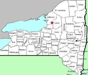
| County: |
Jefferson |
| Town: |
Rodman |
| USGS Map: |
Barnes Corners |
| Waterway: |
Sandy Creek |
| Latitude: |
N 43°
52' 09" |
| Longitude: |
W 75°
51' 15" |
| Drop: |
13' |
| Type: |
NA |
| Region: |
NA |
| Parking: |
NA |
| Trail type: |
NA |
| Length of
hike: |
NA |
| Difficulty: |
NA |
| Accessibility: |
Private |
| Name: |
Charted/Unnamed |
|
This is an unnamed waterfall
on private and posted property. We have met the owners.
They have had many problems with a disrespectful public
littering and destroying their property. As a result, they
do not allow access for photography and will prosecute
trespassers. The Sandy Creek flows into Lake Ontario.
Last update: July 5, 2017
|


