| Directions
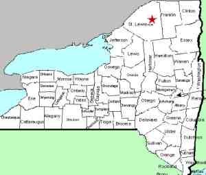
The hamlet of Colton is located on NY
56, a few miles east of Potsdam. At the intersection
of Main Street, proceed northeast. There are two parking
areas. The first is on the left just before crossing
the bridge. For the second, which is the preferred
route for waterfalls, take the left after crossing the bridge
and drive behind the fire hall.
|
| County: |
St. Lawrence |
| Town: |
Colton |
| USGS Map: |
Colton |
| Waterway: |
Raquette River |
| Latitude: |
N 44°
33' 41" |
| Longitude: |
W 74°
56' 36" |
| Drop: |
60' |
| Type: |
Slide |
| Region: |
Off NY 56 near
Colton |
| Parking: |
Unpaved parking
area |
| Trail type: |
Dirt |
| Length of hike: |
0.5 mile |
| Difficulty: |
Moderate |
| Accessibility: |
Public |
| Name: |
Common |

|
The Narrows
is the third named drop on the Stone
Valley Trail as you hike the east side of the river from the
parking area at the Colton Fire Hall. This location is about 1/2
mile from the beginning of the trail. Aptly named because the
channel narrows and the flow intensifies, experienced kayakers are
challenged by the stretch. For the less experienced kayaker
and for canoeists, hike the trails like the rest of us. This
is some pretty serious water, especially during high flow in the
spring.
The Raquette River empties into the St. Lawrence River in Massena,
New York.
Last update: August 13, 2016
|


