| Directions
The Talcville Road joins NY 58 about
a mile from the Fowler/Edwards town line, east of Gouverneur.
This section is just off this road but is on private
property. Some of the access is posted.
|
| County: |
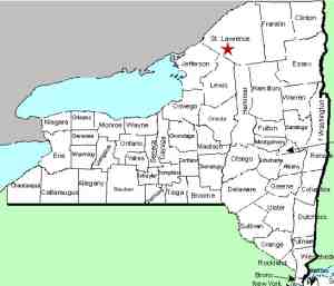
St. Lawrence |
| Town: |
Edwards |
| USGS Map: |
Edwards |
| Waterway: |
Pork Creek |
| Latitude: |
N 44°
18' 22" |
| Longitude: |
W 75°
18' 35" |
| Drop: |
NA |
| Type: |
Rapids |
| Region: |
West of Edwards |
| Parking: |
Roadside |
| Trail type: |
Dirt |
| Length of hike: |
5 minutes |
| Difficulty: |
Easy |
| Accessibility: |
Private |
| Name: |
Unnamed |

|
This waterfall is one
of the many unnamed falls and rapids in St. Lawrence County.
Normally a docile creek, during high water these rapids rage. These pictures were taken in
October
after an abnormal rain. During the spring run-off this section
would be flowing even stronger. The Pork Creek flows into the Oswegatchie River just below the
Talcville Dam in the hamlet of Talcville, town of Edwards.
The Oswegatchie flows into the St. Lawrence River in Ogdensburg,
New York.
Last update: June 11, 2016
|


