| Directions
Take US 11 south from the village of Canton. Just north
of the hamlet of De Kalb Junction, the Rensselaer Falls
Road will exit north ... a right if you are driving south.
This will take you to the village of Rensselaer Falls.
|
| County: |
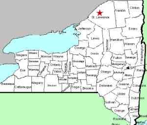
St. Lawrence |
| Town: |
Canton |
| USGS Map: |
Rensselaer Falls |
| Waterway: |
Oswegatchie River |
| Latitude: |
N 44° 35' 23" |
| Longitude: |
W 75° 19' 19" |
| Drop: |
1-2' |
| Type: |
Ledge |
| Region: |
East of Canton |
| Parking: |
Roadside |
| Trail type: |
Dirt |
| Length of hike: |
Roadside |
| Difficulty: |
Easy |
| Accessibility: |
Public |
| Name: |
Official |

|
Since this village is named Rensselaer Falls, it stands to reason that
a waterfall is, or at least once was, there. It is not
uncommon, especially in St. Lawrence County to encounter
communities with no waterfalls that carry "Falls" in their name.
This is usually because of the construction of a power dam.
At first glance, one might think that Rensselaer Falls is such a
place, except that there is no dam around here.
The
waterfall that gives the village its name is clearly visible
from the intersection of CR 14 and CR 15,
the main intersection in the village. It is so
insignificant, however, that one might be led to believe that
there must be another waterfall in the area. There isn't
... this is it!
There is an arc-shaped ledge that runs
across the width of the river. It may be a two foot drop,
but certainly no more than that. Our pictures were
taken in late fall of the year. The Oswegatchie gets very
active in the spring as it drains the melting snow from the
Adirondacks. We suspect that during that time of the year,
the flow through here would be so heavy that it might obscure
the fact that there is even a drop here.
If one were to
read the wikipedia.org account about the village of Rensselaer
Falls, it might further confuse the issue. It states "A
six foot drop in the river attracted early settlers to the
available water power." Local sources have assured us that
this is the only drop there. In fact, the
Oswegatchie is completely flat for over five miles upstream to
Coopers Falls and over four miles downstream to some small
rapids just above the village of Heuvelton. What happened
to this six foot drop that attracted the first settlers is a
mystery to us!
As a result of our Waterfall
Naming Project, Rensselaer Falls was added to the Geographic
Names Information System data base on April 19, 2019.
The Oswegatchie River flows into the St. Lawrence River in
Ogdensburg,
New York, roughly eleven miles from here.Last update:
April 23, 2019
|


