| Directions
Take NY 3 east from Star Lake and take
a left on CR 60, marked as the road to Newton Falls.
In the hamlet there is a former mill on the right.
This waterfall is behind that mill.
|
| County: |
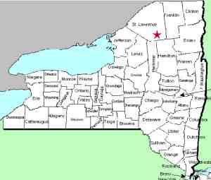
St. Lawrence |
| Town: |
Clifton |
| USGS Map: |
Newton Falls |
| Waterway: |
Oswegatchie River |
| Latitude: |
N 44°
12' 44" |
| Longitude: |
W 74°
59' 55" |
| Drop: |
NA |
| Type: |
Ribbon Cascade |
| Region: |
North of Star
Lake |
| Parking: |
NA |
| Trail type: |
NA |
| Length of hike: |
NA |
| Difficulty: |
NA |
| Accessibility: |
NA |
| Name: |
Official |

|
Newton Falls is a hamlet
in southern St. Lawrence County that took its name from the waterfall
there. Decades ago, a dam was built at the top of the
falls.
For many years, a paper mill operated here
but that was closed in 2011. There is a penstock that
diverts water at the dam. When the mill was operating,
part of this went into the property of the mill but today, this
goes to a hydroelectric production facility downstream.
The first picture in our array is a googlemaps image of
the actual falls. The other two photos show another dam
downstream that can be viewed from CR 60,
just west of the hamlet and just downstream from the waterfalls.
If anyone has any additional information on this location, please
contact us.
As a result of our Waterfall
Naming Project, Newton Falls was added to the Geographic
Names Information System data base on April 19, 2019.
The Oswegatchie River flows into the St. Lawrence River in Ogdensburg,
New York.
Last update: April 23, 2019
|


