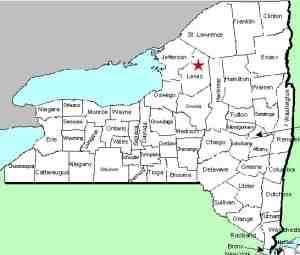
| Directions
The Jerden Falls Road is located off the east side of
NY 812 just north of the hamlet of Indian River.
Head north on it. Actually, if you are coming from
the north, a left on the Dutton Road and then a left on
the Jerden Falls Road will save you a few miles.
Shortly after crossing a bridge over the Oswegatchie
there is a right hand turn. The corner isn't
marked with standard street/road signs, but there is a
sign indicating that it is the "Blanchard Creek Truck
Road, South Entrance". Drive 0.2 of a mile up this road
where you will go under a high voltage power line.
Take a right and follow it as far as you dare.
|
| County: |
Lewis |
| Town: |
Croghan |
| USGS
Map: |
Remington
Corners |
| Waterway: |
Oswegatchie
River West Branch |
| Latitude: |
N
44° 00' 38" |
| Longitude: |
W
75° 19' 12" |
| Drop: |
~25' |
| Type: |
Slide |
| Region: |
South
of Harrisville |
| Parking: |
Unpaved
lot |
| Trail
type: |
Dirt |
| Length
of hike: |
0.4
miles |
| Difficulty: |
Easy |
| Accessibility: |
Public |
| Name: |
Official |

|
 Please note that once
you leave NY 812, all of these roads are unpaved! Please note that once
you leave NY 812, all of these roads are unpaved!
As indicated in the directions side-bar, you are turning
right directly under the power lines. This is a dirt/sand
road. Our first word of caution ... if you are in a sedan
or two-wheel drive vehicle with limited clearance, it might be
wise to park on the roadside at the entrance. It is a bit
of a stretch to call this a road. It is primarily sand and
in serious disrepair. Even with a 4WD truck, we only drove
in about 0.1 mile. We were there in June 2017 which was
extremely wet. Perhaps a drier times, you might be able to
go further.
Even from our parking spot, it was only about 1/4 mile on
foot. Continue walking up this "road". You will be
on your right of the power lines and will find a point where a
smaller "road" bears off to the right. In a short
distance, you will exit right onto a trail. Listen for the
falls. That is your guide.
At this point, the river narrows and the water flows through
a series of esses down through the rocks. Although there is
a considerable vertical drop here, there is also a significant horizontal
run so this is best described as a slide type waterfall.
The name of this waterfall is now official, having been added
to the GNIS data base on November 9, 2017.
The West Branch of the Oswegatchie joins the main channel a few
miles downstream, just west of the hamlet of Talcville in the town
of Edwards. This then flows to the St. Lawrence River in Ogdensburg.
Last update: November 14, 2017
|


