| Directions
The Talcville Road starts at NY 58 just
west of where the 765 kV power line crosses Route 58.
Travel down it for about a mile where you will cross a bridge.
The first left after the bridge is the Ames Road which is
a dirt, seasonally maintained road. Follow this a
little over a mile and you will see this small waterfall
on the left, just before a bend in the road before reaching
the parking area for Wolf Lake trailhead.
|
| County: |
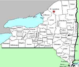
St. Lawrence |
| Town: |
Edwards |
| USGS Map: |
Edwards |
| Waterway: |
Unnamed creek |
| Latitude: |
N 44°
18' 38" |
| Longitude: |
W 75°
19' 27" |
| Drop: |
8' - 10' |
| Type: |
Step |
| Region: |
NY 58 between
Gouverneur and Edwards |
| Parking: |
Dirt road |
| Trail type: |
Roadside |
| Length of
hike: |
None |
| Difficulty: |
Easy |
| Accessibility: |
Private/posted |
| Name: |
Unnamed |

|
This is a
very small waterfall on a small feeder creek that empties into the
Oswegatchie River just upstream from where the west branch joins
the main channel. Because the creek only drains the terrain
above it and is not fed by any ponds or other streams, this is only
active during spring run-off.
This area can be seen clearly from the road. When we took
these pictures, the area was not posted and, in fact, we didn't
realize that it is not part of the state land that dominates this
area. It is on private property. Sometime in the spring
of 2012, posted signs appeared at the location.
This waterfall is comprised of two drops. The first, of
about 3 feet, is followed by a section of about 20 feet where the
creek bubbles over rocks as it descends a couple of more feet before
making another drop of about 4 feet.
The Oswegatchie River flows into the St. Lawrence River in Ogdensburg,
New York.
Last update: April 8, 2016
|


