| Directions
In the hamlet of Keene, follow NY 73 northwest.
In 0.7 mile, the Alstead Mill Road will exit on your right.
At some point the pavement ends and this becomes a dirt
road before ending in 3.0 miles.
|
| County: |
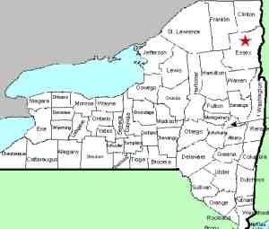
Essex |
| Town: |
Keene |
| USGS Map: |
Lake Placid |
| Waterway: |
Unnamed tributary to Nichols Brook |
| Latitude: |
N 44o 15' 40" |
| Longitude: |
W 73o 52' 04" |
| Drop: |
15' |
| Type: |
Ribbon slide |
| Region: |
Off NY 73 just north of Keene |
| Parking: |
Unpaved lot |
| Trail type: |
Dirt |
| Length of hike: |
1.0 mile one-way |
| Difficulty: |
Moderate |
| Accessibility: |
Public |
| Name: |
Unnamed |

|
There is a parking area at the end of this road.
It appears to be shared by a guide service that is housed in a
building there and for the Jack Rabbit Cross County Ski Trail.
The trailhead for this is at the end of the parking lot.
Signs on trees show that this is state land. About 3/4
mile down the trail,
you will cross a wooden bridge over an unnamed stream which contains
this waterfall. One-tenth of a mile or so further down the trail
you will come to a clear swampy area. Just before this
clearing, veer right from the trail. You are less than
1/10 of a mile from the waterfall at this point. This part of the trail is not as clear.
As you approach the stream, you will want to bear left and make
your way upstream to the waterfall.
The waterfall slides through an s-shaped path in the crags of
the rocks. Although you can get right in the stream and
the falls itself, the best pictures couldn't be taken because of
branches and pieces of trees in the pool at the base of the
falls. It is possible to stand in the pool but you really
aren't able to get back far enough because of all of the debris.This tributary joins the Nichols Brook by the bridge where you
crossed it. This, in turn, flows into the East Branch of the
Ausable River which then joins forces with the west branch in Ausable
Forks. The combined Ausable River empties into Lake Champlain
in the town of Peru.
|


