| Directions
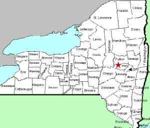
This waterfall can be seen off the north side of NY 5
about 3.5 miles east of the junction of NY 5 and NY 10 in
Canajoharie.
|
| County: |
Montgomery |
| Town: |
Palatine |
| USGS Map: |
Canajoharie |
| Waterway: |
Unnamed waterway |
| Latitude: |
N 42° 53' 50" |
| Longitude: |
W 74° 30' 24" |
| Drop: |
NA |
| Type: |
Ribbon step/cascade |
| Region: |
East of Canajoharie |
| Parking: |
Roadside |
| Trail type: |
NA |
| Length of hike: |
NA |
| Difficulty: |
Easy |
| Accessibility: |
Public |
| Name: |
Unnamed |

|
This is a pleasing little plunge that can be seen
as you are driving on NY 5 just east of Canajoharie. It is
an unnamed waterfall on an unnamed stream and probably is quite
seasonal. Since there is another waterfall about two miles
west of this one on a different unnamed stream, we have opted to
give it the moniker we have!
This stream enters the Mohawk less than 400' from this location.
The river is just on the other side of the highway. If you
choose to stop, you will want to be in the west-bound lane, but
use caution. This is a well traveled road and the waterfall
is literally on the road's edge.
The water from this stream flows into the Mohawk River and the
Hudson River before reaching the Atlantic Ocean in New York City.
Last update: November 23, 2015
|


