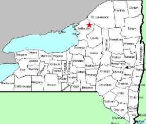
| Directions
On NY 11 just north of the bridge crossing the Indian
River in Philadelphia, turn northwest on NY 26 and drive for about six
miles. In the village of Theresa this is Mill Street.
You will cross the Indian River and the next right is Bridge
Street. This location is on the left of a bridge less
than 0.1 mile up this street.
|
| County: |
Jefferson |
| Town: |
Theresa |
| USGS Map: |
Theresa |
| Waterway: |
Indian River |
| Latitude: |
N 44° 13' 4" |
| Longitude: |
W 75° 47' 41" |
| Drop: |
NA |
| Type: |
Dam |
| Region: |
Village of Theresa |
| Parking: |
Streetside |
| Trail type: |
NA |
| Length of hike: |
NA |
| Difficulty: |
Easy |
| Accessibility: |
Public |
| Name: |
Common |

|
Having driven through this community literally hundreds of times,
we have often wondered if there was a waterfall below the dam here.
We just never followed up on it until now.
At some point, a restaurant in the village was renamed the High
Falls Cafe. This led us to assume that there either was, or
had been, a waterfall there by that name. On September 8,
2014, we telephoned the town clerk's office. The lady that
answered, presumably the town clerk, told us that there used to
be a waterfall at the location of the dam, but it no longer exists,
even below the dam.
Perhaps at some point, we will stop and get some actual pictures
of the location, but it appears that the terrain is such that good
vantage points may be difficult to access. Since no waterfall
actually exists, this is not a high priority! For now, we
have posted an image from bingmaps.com.
The Indian River continues its flow downstream through Black
Lake. Then it joins the Oswegatchie River which flows to the
St. Lawrence River in Ogdensburg.
Last update: October 27, 2015
|


