| Directions
Take River Street east from NY 9N in the village of
Corinth. After crossing the Hudson River, this becomes
East River Drive. In about 0.4 miles, take a right on
Call Street/CR 32. You will come to a parking area on
the right that is identified as a scenic overlook.
|
| County: |
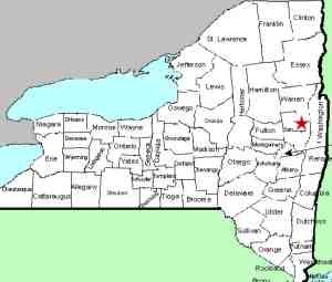
Saratoga/Warren |
| Town: |
Corinth/Lake Luzerne |
| USGS Map: |
Corinth |
| Waterway: |
Hudson River |
| Latitude: |
N 43o 14' 57" |
| Longitude: |
W 73o 49' 15" |
| Drop: |
70' |
| Type: |
Dam/curtain cascade/slide |
| Region: |
off NY 9N in the village of Corinth |
| Parking: |
Unpaved parking area |
| Trail type: |
Dirt |
| Length of hike: |
0.3 mile |
| Difficulty: |
Easy |
| Accessibility: |
Public |
| Name: |
Common |

|
Park and it is a very short walk past the barrier over a well
maintained trail. When you come to the "Y" in the
trail, take the left branch and you will come to an overlook.
This vantage gives you a clear but distant view of the dam/waterfall.
These falls were also known as Jessups Great Falls and Kat-che-bon-cook.
They are also known locally as Mill Falls.
Although there is now a dam here, the waterfall still exists
at the base of it. It is somewhat of a crap-shoot as to whether
water will be flowing because the power plant does control the flow
of the water. It is difficult to judge the height of
this waterfall because of the distance. As with several of
the dam/waterfalls on the Hudson in this area, if the dam was removed
the waterfall itself wouldn't be changed significantly. The
dam was built at the very top of the falls and when water is flowing,
the physical appearance of the falls is not altered.
The two halves of the waterfall are different types. on
river left (Warren County site) there is a slide, while on river
right (Saratoga County side) it is a curtain cascade. This
is more evident when water flow is lower. We have been there
both when water was rushing and when it was completely dry.
The Hudson River flows into the Atlantic ocean.
Last update: october 19, 2015
|


