| Directions
From the intersection of Routes 8 and 30 in Speculator,
come north for 2.2 miles. You will see a creek on
your right. Park on the roadside.
|
| County: |
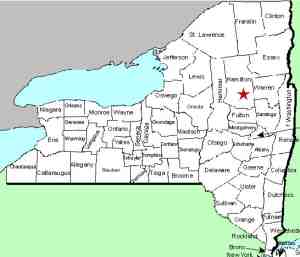
Hamilton |
| Town: |
Lake Pleasant |
| USGS Map: |
Page Mt |
| Waterway: |
Hatchery Brook |
| Latitude: |
N 43° 31' 36" |
| Longitude: |
W 74° 23' 11" |
| Drop: |
~6' |
| Type: |
Cascade |
| Region: |
Off NY 30 between Northville
and Wells |
| Parking: |
Unpaved lot |
| Trail type: |
Dirt |
| Length of hike: |
0.1 mile/2 minutes |
| Difficulty: |
Easy |
| Accessibility: |
Public |
| Name: |
Unnamed |

|
Only a couple of hundred feet off the highway, this
waterfall is still difficult to find. Our directions indicated
it was right where the brook flowed under route 30. These directions,
however, were from the south and we came from the north. We
drove by, got to the landmark to the south, turned around and still
missed it. Finally, seeing a creek very close to the road,
we stopped, and lo and behold, we were there! We have also
provided photos of a couple of signs that were very close.
The "Adopt-a-highway" sign is on the opposite side of
the road.
Park on the east side of the highway. There is a small
clearing at that point. Walk to a trail that is visible on
your right and you will almost immediately find the waterfall.
This is technically an unnamed waterfall. When we first
became aware of it, we were told it was called Whiskey Brook Falls.
We originally had it posted as that. After subsequent
research, we found that it is located on the Hatchery
Brook. Whiskey Brook is a feeder stream that enters the Hatchery
Brook a short distance upstream from this point.
It is our belief that whoever originally tagged it as Whiskey
Brook wasn't aware that at this point, it is the Hatchery Brook.
Consequently, we are now referring to it by the waterway that it
is on.
The Hatchery Brook drains into Sacandaga Lake which flows into
Lake Pleasant. The Sacandaga River then takes this water downstream
to the Hudson before making its way to the Atlantic Ocean.
Last update: September 16, 2017
|


