| Directions
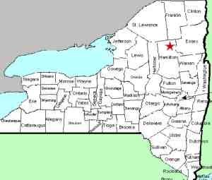
A little over four miles east of the hamlet of Long Lake
on NY 28N, there is a bridge across the Fishing Brook.
You can see these falls on the south side of the highway.
|
| County: |
Hamilton |
| Town: |
Long Lake |
| USGS Map: |
Deerland |
| Waterway: |
Fishing Brook |
| Latitude: |
N 43o 58' 38" |
| Longitude: |
W 74o 20' 11" |
| Drop: |
4' |
| Type: |
Slide |
| Region: |
NY 28N between Long Lake and Newcomb |
| Parking: |
Road shoulder |
| Trail type: |
Roadside |
| Length of hike: |
None |
| Difficulty: |
Easy |
| Accessibility: |
Public |
| Name: |
Unnamed |

|
These falls are not indicated on any maps and are fairly uneventful.
they are, however, visible from the highway. If you are heading
west on 28N, you may not see them because they will be over your
shoulder, but when going east, they will be obvious off to your
right. They occur under a small bridge on a side, dirt road.
You can park on the road shoulder at this point and get a better
view of this tiny waterfall. The water bounds down some rocks
just below the bridge. It appears that perhaps a portion of
the bridge foundation may form somewhat of a dam that the water
goes over first before going through the rocks.
The dirt road access is a short distance beyond this point and
appears to be accessible. Having said that, we need to point
out that we didn't go down there. From 28N it would appear
that the location is physically accessible. Whether or not
it is publicly accessible is another story. We had already
done two "K" turns on this fairly busy road to go back
and take pictures so we did not opt to do two more to check the
side road for posted signs.
The Fishing Brook flows into Rich Lake, which then dumps into
Harris Lake. The outlet of this is at the Hudson River.
All of these are in the Newcomb area. The Hudson flows into
the Atlantic ocean in New York City.
Last update: September 2, 2015
|


