| Directions
This location is private so we are not
providing specific information on its location.
|
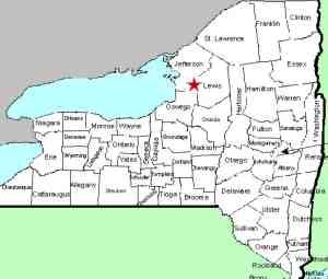
| County: |
Jefferson |
| Town: |
Rodman |
| USGS Map: |
Rodman |
| Waterway: |
Fish Creek |
| Latitude: |
N 43°
50' 04" |
| Longitude: |
W 75°
56' 56" |
| Drop: |
18' |
| Type: |
Plunge |
| Region: |
East of
Adams |
| Parking: |
NA |
| Trail type: |
NA |
| Length of
hike: |
NA |
| Difficulty: |
NA |
| Accessibility: |
Private |
| Name: |
Common |

|
We do know of one other waterfall in Northern New York that
carries the name of a creek that it isn't on. In that
case, Whiskey Brook Falls in Hamilton County is on Hatchery
Brook. Whiskey Brook enters Hatchery just downstream of
the waterfall.
This waterfall is on an unnamed,
spring-fed creek and the falls is situated at the point where
the creek enters Fish Creek. Since the creek it is on
isn't named, this is why we have said in the data side-bar that
it is on Fish Creek.
As for the name of the falls, there
is no Willow Creek. Neighbors in the area have assigned
this name because there are a number of willow trees close to
the falls and the creek. Although you can get a distant
view of the falls from the roadside, it is in the back of property
by the family home. Please respect that.
One of our
pictures shows an area to the left of the waterfall. Just
upstream of the falls, the creek goes under a highway. We
were told that a number of years ago some work was done on the
highway which disrupted the flow of the stream. It used to
split just above the falls and there were two drops. That
point of entry is higher than it was and very little water gets
into that channel. Today, that is barely a trickle.Fish Creek flows into
Sandy Creek about a mile-and-a-half from this point. The
Sandy empties into Lake Ontario.
Last update: July 5, 2017
|


