| Directions
on NY 9N between the intersection of NY 73 and Elizabethtown,
there is a parking area for the marked southern trail to
Hurricane Mountain.
|
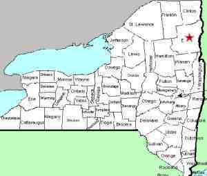
| County: |
Essex |
| Town: |
Elizabethtown |
| USGS Map: |
Elizabethtown |
| Waterway: |
A feeder stream to the Branch |
| Latitude: |
N 44o 12' 7" |
| Longitude: |
W 73o 41' 39" |
| Drop: |
NA |
| Type: |
Multiple falls |
| Region: |
West of Elizabethtown |
| Parking: |
NA |
| Trail type: |
NA |
| Length of hike: |
NA |
| Difficulty: |
NA |
| Accessibility: |
NA |
| Name: |
Unnamed |

|
our thanks to Mike Arthur of the website
www.offonadventure.com
for sending us these pictures. Although we do not have detailed
access info, the first pic in the array approximates Mike's route
to these waterfalls.
From the parking area noted in the directions side-bar, walk
east along 9N without crossing the highway. You will soon
come to a section where The Branch runs parallel to the road.
This is where Mike's hike began. Head south into the woods
here. This is a bushwhack and unmarked.
If anyone has any pictures or information on this waterfall,
we would be very interested in
hearing from you.
These falls are actually on a small stream feeding The Branch.
The Branch empties into the Schroon River just southwest of the
hamlet of North Hudson. The Schroon flows through Schroon
Lake and then continues its journey to the Hudson River just outside
of the village of Warrensburg. The Hudson flows into the Atlantic
ocean in New York City.
Last update: July 29, 2015
|


