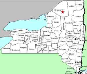
| Directions
We are researching access to this waterfall. It
is in a fairly remote area.
|
| County: |
St. Lawrence |
| Town: |
Colton |
| USGS Map: |
Tooley Pond |
| Waterway: |
Blue Mountain Stream |
| Latitude: |
N 44o 21' 37.05" |
| Longitude: |
W 74o 53' 29.46" |
| Drop: |
NA |
| Type: |
NA |
| Region: |
South of Canton |
| Parking: |
NA |
| Trail type: |
NA |
| Length of hike: |
NA |
| Difficulty: |
NA |
| Accessibility: |
Unknown |
| Name: |
Unnamed |

|
We have not yet been to this
waterfall. It is indicated on topographical maps simply as "Falls".
There are no trails or roads indicated in the area on
topographical maps.
If anyone has any information or pictures of this location, please
contact us.
This waterway is a tributary of the Middle Branch of the Grasse River.
The Grasse River flows into the St. Lawrence River in Massena, in
St. Lawrence County.
Last update: November 18, 2016
|


