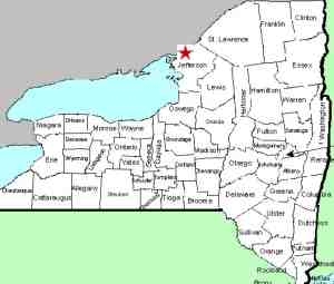
| Directions
Since this waterfall is on private property, we are not
posting specific information on its location.
|
| County: |
Jefferson |
| Town: |
Clayton |
| USGS Map: |
Clayton |
| Waterway: |
Barrett Creek |
| Latitude: |
N 44o 12' 52" |
| Longitude: |
W 76o 05'
03" |
| Drop: |
NA |
| Type: |
NA |
| Region: |
Just south of the village of Clayton |
| Parking: |
NA |
| Trail type: |
NA |
| Length of hike: |
NA |
| Difficulty: |
NA |
| Accessibility: |
Private |
| Name: |
Unnamed |

|
our information about this waterfall is sketchy but we were able to locate it on Bing
Maps. It is on private property off the Bald Rock Road
in the town of Clayton.
We will post more specifics when we have them.
If anyone has any information on this waterfall or pictures of
it, we would like to hear from
you.
Barrett Creek empties into French Creek Bay which is on the St.
Lawrence River in Clayton.
Last update: July 27, 2015
|


