| Directions
From the entrance to St. Regis Falls Scenic Campsite
in the village of St. Regis Falls, travel 2.8 miles west
on NY 458. Just before reaching the Howe Road, the
road crosses an unnamed stream. This drop is about
100 yards upstream.
|
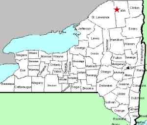
| County: |
Franklin |
| Town: |
Waverly |
| USGS Map: |
St. Regis
Falls |
| Waterway: |
Unnamed
waterway |
| Latitude: |
N 44° 39'
57" |
| Longitude: |
W 74°
35' 10" |
| Drop: |
~10' |
|
Type: |
Rapids |
|
Region: |
West of St. Regis Falls |
|
Parking: |
Roadside |
|
Trail type: |
Dirt |
|
Length of hike: |
100 yards |
|
Difficulty: |
Easy |
|
Accessibility: |
Public |
|
Name: |
Unnamed |
|
Another "babbling" falls,
this one is formed at the outlet of a small pond. Your
hike in is best made to the right as you face upstream. It
is somewhat of a bushwhack, but certainly very doable.
This waterway makes its way to the St. Regis River which flows into Canada and then empties
into the St. Lawrence River a short distance downstream from the
New York/Quebec border.
Last update: April 26, 2017
|


