| Directions
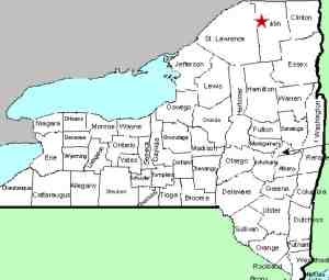
About 14 miles south of Malone on NY 30, in the hamlet
of Duane, CR 14 intersects. A little more than seven
miles west of here, you will come to a canoe access parking
area on the right. Just beyond that there is a seasonally
maintained access road on the right. Continue
about 0.8 mile west of this intersection.
|
| County: |
Franklin |
| Town: |
Santa Clara |
| USGS Map: |
Santa Clara |
| Waterway: |
St. Regis River
East Branch |
| Latitude: |
N 44° 40'
38.49" |
| Longitude: |
W 74° 26'
30.02" |
| Drop: |
18' |
| Type: |
Curtain cascade |
| Region: |
CR 14 between
St. Regis Falls and Duane |
| Parking: |
Roadside |
| Trail type: |
Dirt |
| Length of hike: |
< 1500' |
| Difficulty: |
Easy |
| Accessibility: |
Public |
| Name: |
Unnamed |

|
 This
unnamed waterfall is just downstream from Everton Falls, hence
the name we have given it for cataloging purposes. You can
not see it through the woods from the point indicated in the
directions side-bar. You may want to go about 800' further
west to where you can see upstream from the road, just to get
your bearings. This
unnamed waterfall is just downstream from Everton Falls, hence
the name we have given it for cataloging purposes. You can
not see it through the woods from the point indicated in the
directions side-bar. You may want to go about 800' further
west to where you can see upstream from the road, just to get
your bearings.
Park on the roadside in the area
next to the falls and you can make your way through to the
river's edge. Signs throughout this area show that this is
NYS DEC property, so it is publicly accessible, although there
are no clearly marked or defined trails.This waterfall is
just upstream from two large slabs of rock that protrude in the
water. The channel is just less than 100' wide here and
these rocks form somewhat of a natural dam covering all but
twenty feet or so of the width of the river.
The St. Regis River flows north into Canada and then empties
into the St. Lawrence River a short distance downstream from the
New York/Quebec border.
Last update: May 9, 2016
|


