| Directions
This waterfall is not publicly accessible.
|
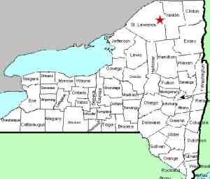
| County: |
St Lawrence |
| Town: |
Hopkinton |
| USGS Map: |
Sylvan Falls |
| Waterway: |
St. Regis
River West Branch |
| Latitude: |
N 44°
32' 35" |
| Longitude: |
W 74°
41' 35" |
| Drop: |
NA |
| Type: |
NA |
| Region: |
Off NY 72
in the village of Parishville |
| Parking: |
NA |
| Trail type: |
NA |
| Length of
hike: |
NA |
| Difficulty: |
NA |
| Accessibility: |
Private |
| Name: |
Official |
|
In the village of Parishville, Catherine Street is the first
street immediately north of the St. Regis River's west branch.
This will become the Sylvan Falls Road after leaving the village.
A few miles down this road, the pavement ends. In a few
more miles you encounter a sign that indicates that all of the property
from that point on is private and posted. Eventually, you
will reach a section on the road where there are gates blocking
you from proceeding. Signs there identify it as a private
club. Bruner Falls is beyond this point. It appears
that you would need to gain permission from this club to view this
waterfall or else paddle up the river. Neither of these methods
have been attempted.
If anyone has any information about this waterfall, we would
be very interested in
hearing from you.
The West Branch of the St. Regis River flows into the main channel
in Winthrop. The St. Regis River then flows to the St. Lawrence
River almost on the US/Canada border a few miles northeast of Massena,
New York.
Last update: September 30, 2016
|


