| Directions
NY 10 runs north-south through the Adirondacks with
its north end on NY 8 at Piseco Lake. On NY 29A,
just west of the junction with NY 10, there are
pull-offs on both sides of the highway.
|
| County: |
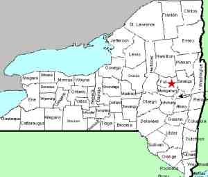
Fulton |
| Town: |
Caroga |
| USGS Map: |
Canada Lake |
| Waterway: |
Nine Corner Lake Outlet |
| Latitude: |
43° 11' 30" |
| Longitude: |
74° 32' 27" |
| Drop: |
25' |
| Type: |
Cascade |
| Region: |
South of Arietta |
| Parking: |
Roadside pull-off |
| Trail type: |
Dirt |
| Length of hike: |
0.7 mile, one-way |
| Difficulty: |
Easy |
| Accessibility: |
Public |
| Name: |
Unnamed |

|
The head of the Nine Corner Lake Trail is on the north side of
the highway at this parking area.
There is a foot-bridge at 0.65
mile. The falls are off to the right at this bridge.
The main drop is a slide of sorts that fans out over a fairly
large, smooth rock. It might be more accurate to say that
it "Ys" out because it doesn't cover the center portion.
There is a small island with some foliage and a few trees at the
base of the slide and two separate channels flow around it and
then meet again below it.
If you continue walking past
the bridge and bear right, you can find a place to rock hop over
the river right channel. Once on the "island" you can get
better views and pictures of the upper portion. Although
the two lower drops are not far at all from the bridge,
depending upon the time of year, foliage may well block your
view and prevent good photo ops.
The outlet of Nine Corner Lake flows into West Lake, Canada Lake
and Lily Lake before exiting through Sprite Creek to East Canada
Creek. This makes its way to the Mohawk and then Hudson
River before reaching the Atlantic Ocean in New York City.
Last update: June 22, 2019
|
 Main
Drop Main
Drop
 Lower
Right Channel Lower
Right Channel
 Lower
Left Channel Lower
Left Channel |
|


