| Directions
From NY 12 in Lyons Falls, find the bridge crossing the
Black River and continue on the Lyonsdale Road. Shortly
after the Lyonsdale Road becomes the Marmon Road, the Hunkins
Road will be on the left. This ends in a "T"
on the Fowlersville Road. Go left and you will shortly
cross the Fowlersville Bridge. Just past the bridge,
there is a dirt road on the left. A short distance
up this road, there is a parking area on the right.
|
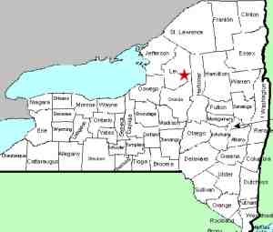
| County: |
Lewis |
| Town: |
Lyonsdale |
| USGS Map: |
Port Leyden |
| Waterway: |
Moose River |
| Latitude: |
N 43° 37' 25" |
| Longitude: |
W 75° 16' 54" |
| Drop: |
~5' |
| Type |
Curtain cascade |
| Region: |
East of Lyons Falls |
| Parking: |
Roadside |
| Trail type: |
Dirt |
| Length of hike: |
1/4 mile |
| Difficulty: |
Easy |
| Accessibility: |
Public |
| Name |
Unnamed |

|
Across the road from the parking area, there is a trail leading
to the river. As you proceed downstream, you will see the
Fowlerville Falls. Less
than 1/4 mile further down, you will find this site.
Many of the stretches of the Moose River through this area have
been given names by the whitewater community. We have
dubbed this particular drop Fowlerville Lower Falls because it is
just downstream of Fowlerville Falls. To our knowledge, it
hasn't been labeled unless it is considered the beginning of the
Funnel, a sections of rapids just below this. In normal water
levels, this is a small drop and probably wouldn't be considered
significant but during heavy spring run-off, this can approach the
status of a waterfall.
The first six pictures in our array were taken during average
summer flow. The last two were from May 2014 when the flow
was considerably above normal levels.
The Moose River flows into the Black River just a few miles downstream
from this location in Lyons Falls. The Black empties into
Lake Ontario in the Jefferson County community of Dexter.
Last update: November 27, 2015
|


