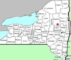
| County: |
Hamilton |
| Town: |
Hope |
| USGS Map: |
Three Ponds Mt |
| Waterway: |
Groff Creek |
| Latitude: |
N 43° 19' 05" |
| Longitude: |
W 74° 17' 05" |
| Drop: |
15' |
| Type: |
Ribbon cascade |
| Region: |
Off NY 30 between Northville
and Wells |
| Parking: |
Roadside |
| Trail type: |
Dirt |
| Length of hike: |
2.6 miles, one-way |
| Difficulty: |
Fairly difficult |
| Accessibility: |
Public |
| Name: |
Unnamed |
|
 This
is the third of three waterfalls within close proximity of each
other. Although we refer to this as the Upper Falls, we
have also seen it called the Third Fall. It is about 0.1
mile beyond the Middle Falls. You will again need to descend the bank to
reach streamside. This
is the third of three waterfalls within close proximity of each
other. Although we refer to this as the Upper Falls, we
have also seen it called the Third Fall. It is about 0.1
mile beyond the Middle Falls. You will again need to descend the bank to
reach streamside.
The good news is that as you continue
upstream for these three waterfalls, the embankment gets easier
to navigate!
As with the previous two waterfalls, foliage
and downed trees present a problem in terms of getting a clear
view of the drop. This is especially true with this one.
The Groff Creek flows into the Sacandaga River about 3/4 of a
mile from this location. The Sacandaga Flows through the Great
Sacandaga Lake and merges with the Hudson River in Lake Luzerne.
The Hudson empties into the Atlantic Ocean in New York City.
Last update: July 27, 2021
|


