| Directions
On NY 30 between Wells and Northville, the Benson
Road/ CR 6 will exit to the west. This point is
abouth 11.2 miles from the Algonquin Road junction at
the southern end of Wells and 3.2 miles
north of Northville.
River Road will immediately be on the right.
Follow this for 4.6 miles. At this point
there is a dirt pull-off and a sign indicating the
highway right-of-way has been "Qualified Abandoned". The next 3/4 mile or
so is a logging road where you encounter another sign
prohibiting motorized vehicles past that point.
|
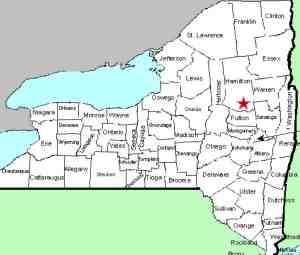
| County: |
Hamilton |
| Town: |
Hope |
| USGS Map: |
Three Ponds Mt |
| Waterway: |
Groff Creek |
| Latitude: |
N 43° 19' 09" |
| Longitude: |
W 74° 16' 58" |
| Drop: |
30' |
| Type: |
Ribbon cascade |
| Region: |
Off NY 30 between Northville
and Wells |
| Parking: |
Roadside |
| Trail type: |
Dirt |
| Length of hike: |
2.4 miles, one-way |
| Difficulty: |
Fairly difficult |
| Accessibility: |
Public |
| Name: |
Unnamed |
|
 We opted to park at the sign described in the directions
side-bar. We did see vehicles on the logging road but they
were all at a private property about 1/2 mile along this
stretch. We opted to act on the side of caution and walk
this portion as well. This does increase your hike by 3/4
mile in each direction. We opted to park at the sign described in the directions
side-bar. We did see vehicles on the logging road but they
were all at a private property about 1/2 mile along this
stretch. We opted to act on the side of caution and walk
this portion as well. This does increase your hike by 3/4
mile in each direction.
This
is the first of three waterfalls within close proximity of each
other.
Although we refer to this as the Lower Falls, we
have also seen it called the First Fall. It is about
2.35 miles from the point where we parked. At this point, you should be
hearing the water and can
scramble down a fairly steep embankment about 100 feet to reach streamside.
This ribbon cascade drops an estimated 30' in two
drops. There is a short channel
between the two sections. Foliage has grown considerably
over the past few years and it is now virtually impossible to
see the entire stretch from one vantage point. We will
stress that we were unable to get to the river's edge below the
falls. If hikers are able to access that, the view might
be possible.
Because of this, we have opted to provide
two videos, one for the top section and the other of the lower
section. Clicking on the video graphics above will show
these, respectively.
Many hiking websites note that from here,
you should climb back up the
embankment and continue upstream to the next waterfall. We
started to do that and discovered that it was possible to
bushwhack along the embankment without returning to the trail to
get to the next waterfall.
Groff Creek Middle Falls
and Groff Creek Upper Falls
are covered on separate pages.
The Groff Creek flows into the Sacandaga River about 3/4 of a
mile from this location. The Sacandaga Flows through the Great
Sacandaga Lake and merges with the Hudson River in Lake Luzerne.
The Hudson empties into the Atlantic Ocean in New York City.
Last update: August 1, 2021
|


