| Directions
From Watertown, travel north on NY 37. From the
intersection at CR 16, formerly known locally as Pamelia
Four Corners, continue for 4.5 miles. The
waterfall is at an outcropping on the right, about 200
feet off the east side of the highway. Park on the
roadside.
|
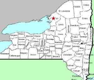
| County: |
Jefferson |
| Town: |
Pamelia |
| USGS Map: |
Theresa |
| Waterway: |
Gillette Creek Tributary |
| Latitude: |
N 44o 08' 36" |
| Longitude: |
W 75o 50' 11" |
| Drop: |
8' |
| Type: |
Seasonal step cascade |
| Region: |
North of Watertown |
| Parking: |
Roadside |
| Trail type: |
Roadside |
| Length of hike: |
Roadside |
| Difficulty: |
Easy |
| Accessibility: |
Private |
| Name: |
Unnamed |
|
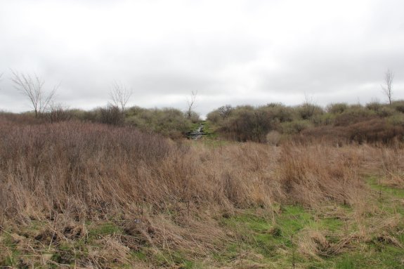
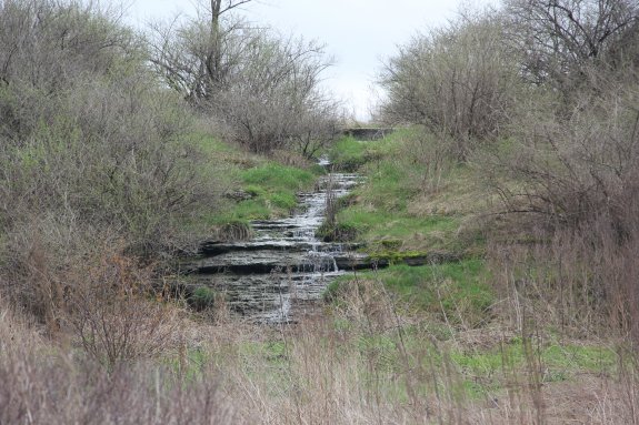
 This is a pleasant little drop within sight of the roadway.
It is, however, privately owned, so you should restrict your
viewing from the right-of-way. We have dubbed it this
because it is along a stretch of NY 37 which is a considerable
distance from any cross-road and there is no other significant
landmark in the immediate area. This is a pleasant little drop within sight of the roadway.
It is, however, privately owned, so you should restrict your
viewing from the right-of-way. We have dubbed it this
because it is along a stretch of NY 37 which is a considerable
distance from any cross-road and there is no other significant
landmark in the immediate area.
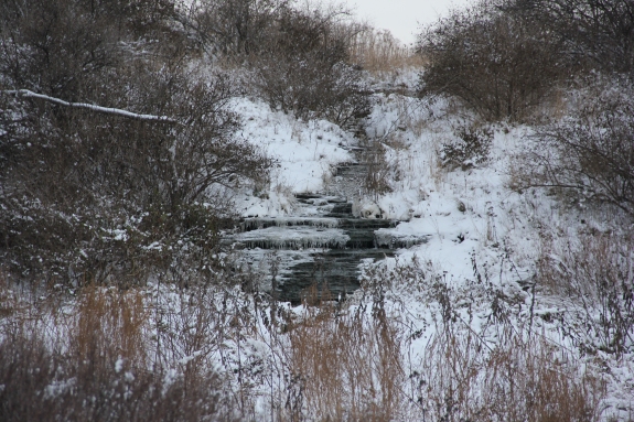
This is a seasonal
flow. The highest spot in the immediate area is about less
than 3/4 of a mile away. From that point, everything is
downhill in all directions. Since the source of this flow
is limited, it is undoubtedly run-off.
There
is also no charted stream at this point. We have listed this as
being on a tributary of Gillette Creek beccause it is directly
across the highway and about 200 yards away from where
topographical maps show the beginning of an unnamed stream.
This approximately 2.8 mile long waterway joins Gillette Creek.
We are surmising that this water finds its way to this stream.
The only time you will see water flowing here is in early
spring when the snow is melting. Usually by May, the flow
has significantly decreased and only after heavy rain will this
drop be active. Gillette Creek flows into Perch Lake, which is a wide spot in the
Perch River, at an area known as the Perch River Wildlife Management
Area. This, in turn, flows into the Black River Bay which
is on the eastern end of Lake Ontario.
Last update: May 6, 2019
|