| Directions
From the village of Clayton, proceed south on NY 12 for
about 2.7 miles. Take a right on the Danenwald Road.
This short road will end at a "T" where you should
turn left and take the first right, House Road. Follow
this to the corner of Bevens Road where you should park.
|
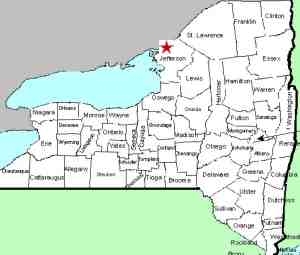
| County: |
Jefferson |
| Town: |
Clayton |
| USGS Map: |
St. Lawrence |
| Waterway: |
French Creek |
| Latitude: |
N 44° 11' 02" |
| Longitude: |
W 76° 07' 50" |
| Drop: |
~ 25' |
| Type: |
Step cascade |
| Region: |
South of the
village of Clayton |
| Parking: |
Roadside |
| Trail type: |
Dirt |
| Length of hike: |
0.1 mile |
| Difficulty: |
Easy |
| Accessibility: |
Public |
| Name: |
Official |
|
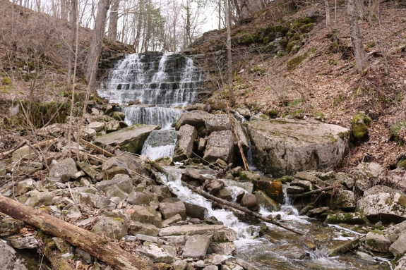
 From the parking area, proceed down the Bevens Road and you will
find several points where you can access the creek. This area
is clearly marked with a DEC sign, so it is public land. From the parking area, proceed down the Bevens Road and you will
find several points where you can access the creek. This area
is clearly marked with a DEC sign, so it is public land.
We originally had this waterfall listed as French Creek
Falls. At a book signing event in Watertown in December
2016, we had the opportunity to chat with a long-time friend who
grew up in this area. It was then that we learned that
locally this waterfall is known as Sperrys Falls after the
Sperry family who were early settlers of the area. He
suspected that they dated back to the 1800s and subsequent
Internet searches revealed that the family did indeed come to
the Clayton area in the early 1800s. We also learned that
for a brief period of time dating back to the 1970s, this may
have been referred to as Putnam Falls after the family that
owned the land at that time.
We will also note that this is not actually on the French
Creek but on an unnamed feeder stream. There are several such
streams feeding this, none of them named, so it appears this is
all the French Creek system.
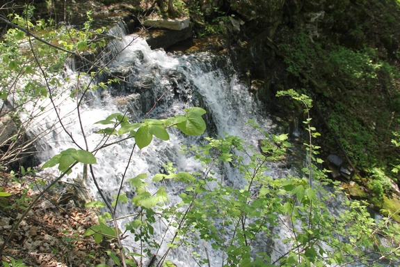
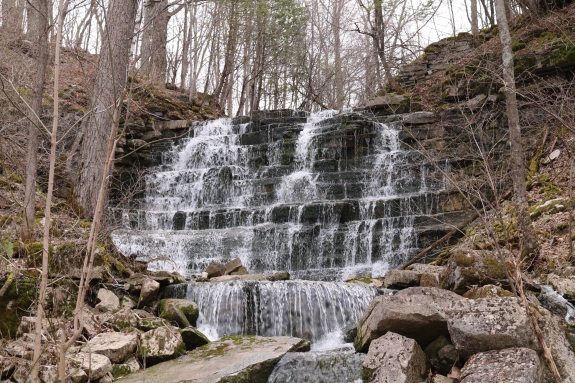
The most obvious trailhead is next to a DEC sign.
Within a few feet, you will be next to the crest of Sperrys Falls.
There is another waterfall about 200' upstream. They are both nice waterfalls so we decided they
deserved separate coverage. Also, because of foliage and
terrain, you can not see the upper falls from thie primary drop.
From the crest, you can make your way to the bottom of the
falls. It is a bit of a scramble but certainly very
do-able. This is the larger of the two falls. It is
a ribbon cascade of about 25'.
Locally, this entire area is considered to be one waterfall. We
have given them separate coverage because they are both nice
waterfalls. Also, because of foliage and terrain, you can not
see the upper falls from thie primary drop.
The French Creek empties into the St. Lawrence River in the village
of Clayton, less than four miles from this point.
Last update: July 23, 2019
|