| Directions
CR 179 runs between the village of Chaumont and the hamlet
of Depauville, paralleling the Chaumont River. 1.3
miles from the Depauville end, the highway crosses a small
creek. This waterfall is downstream of this bridge.
|
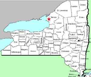
| County: |
Jefferson |
| Town: |
Clayton |
| USGS Map: |
Dexter |
| Waterway: |
Buttermilk Creek |
| Latitude: |
N 44o 07' 31" |
| Longitude: |
W 76o 04' 58" |
| Drop: |
~ 35' |
| Type: |
Ribbon cascade |
| Region: |
Between Chaumont and Depauville |
| Parking: |
Roadside |
| Trail type: |
Roadside |
| Length of hike: |
Roadside |
| Difficulty: |
Easy |
| Accessibility: |
Private |
| Name: |
Unnamed |
|
This is a small unnamed waterfall visible from the roadside.
Because you are looking over the crest, you really can't
appreciate this cascade. This is a very nice waterfall.
This is private property. On our first trip here, there
is a sign on a tree next to the falls. You can read the
top of the words "No Hunting" but the rest of the sign has been
torn off. We erred on the side of caution and assumed that
this is a posted sign so did not attempt to go further.
Even if this property were accessible, the banks here are
very steep and congested. Although not far, it would
be a serious bushwhack to get to the bottom of the falls.
A water route here is likewise not advisable. It would be
physically possible to get to the river bank at the top and go
down the steps making up the top portion of the falls. You
will reach a point, however, where, as the old story goes, the
last step is a douzy!
We estimate this waterfall to be 35 feet. The top 15
feet or so are a serious of steps. The bottom 20 feet is a
free-fall. Our pictures, which were taken with a drone do
not do this beauty justice. This was our first outting
with the drone. As a rookie pilot, I had it in "Beginner
Mode". This limits the distance it will be allowed to go
from the transmitter. It was as far away as it would let
it so I did not get the entire drop. As time, and
experience, allows, I will go back to get photos of the entire
drop.
By comparing this location to topo maps, we found that it is
just upstream from where the creek enters the Chaumont River which
is navigable in small crafts. This location could potentially
be reached in that manner.
Buttermilk Creek flows into the Chaumont River just downstream
of here. That river flows into Chaumont Bay, a large bay on
Lake Ontario.
Last update: April 15, 2017
|


