| Directions
From the intersection of NY 73 and CR 431 in Wilmington
head southwest on route 86. In about 1.9 miles, there
is a parking lot on the right just before crossing the Ausable
River.
|
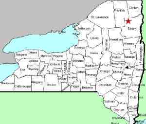
| County: |
Essex |
| Town: |
Wilmington |
| USGS Map: |
Lake Placid |
| Waterway: |
Ausable River West Branch |
| Latitude: |
N 44o 21' 59" |
| Longitude: |
W 73o 50' 25" |
| Drop: |
50' |
| Type: |
Mixed |
| Region: |
NY 86 between Lake Placid and Wilmington |
| Parking: |
Paved lot |
| Trail type: |
Dirt/grass |
| Length of hike: |
Up to 0.2 mile/5 minutes |
| Difficulty: |
Easy to moderate |
| Accessibility: |
Public |
| Name: |
Official |
|
This location is just downstream from
High Falls Gorge, a very popular
Adirondack tourist attraction featuring waterfalls. It is
also close to the Whiteface Mountain Ski Center. Topographical
maps identify this as "The Flume Fall" but a sign at the
entrance to the parking area indicates that it is "Wilmington
Flume". Although this is evidently a new name associated
with the area, no one told the USGS. This waterfall is officially
named The Flume Fall. Interestingly "The" is part
of the name. Alphabetically it is listed under "T"!
There are basically three drops associated with this section.
It is a casual stroll of a few hundred feet from the parking lot
to the bridge. Upstream from here, you will see the top-most
section. At the beginning of it is a rock ridge from which
the river plummets about ten feet. This ridge runs diagonally
across the channel forming a curtain cascade. Parts of it
are obscured from view around the bend in the river. over
the next hundred feet to the bridge are a series of steps and slides
dropping another ten feet or so.
If you cross the road
and view the downstream region, you will see that you
are just above a plunge around a big boulder in the
middle of the channel. Continue to cross the
bridge and there is a trail leading downstream. |
 Upper
Section Upper
Section
Center Section
Lower Section |
The trailhead is across the bridge and across the river from the
parking area. On your
right as you proceed down this road, there are a number of posted
signs, but the river side is publicly accessible. A few hundred
feet down this trail, there are several access trails to the river.
From them, you can see this twenty foot plunge, a pair of ribbon
cascades, just downstream of the bridge. A little further
downstream, there is a curtain cascade of about eight feet.
Still further downstream is a smaller curtain cascade of about three
feet.
This is a very pleasant area to stroll and enjoy and perhaps
pause for lunch or a snack.
The West Branch of the Ausable River merges with the east branch
a few miles downstream from here in Au Sable Forks. The combined
Ausable River empties into Lake Champlain in the town of Peru.
Last update: August 18, 2017
|


