| Directions
This waterfall is not publicly accessible.
|
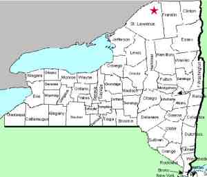
| County: |
St. Lawrence |
| Town: |
Parishville |
| USGS Map: |
Parishville |
| Waterway: |
St. Regis
River West Branch |
| Latitude: |
N 44°
38' 12" |
| Longitude: |
W 74°
50' 38" |
| Drop: |
NA |
| Type: |
NA |
| Region: |
Off NY 72
in the village of Parishville |
| Parking: |
NA |
| Trail type: |
NA |
| Length of
hike: |
NA |
| Difficulty: |
NA |
| Accessibility: |
Private |
| Name: |
Common |
|
Just west of the village of Parishville, the old Potsdam-Parishville
Road will bear off to the right. A short distance down this
road, the Coon Road will exit to the right. At the end of this short
road, you will come to the Allen Falls Reservoir.
This situation is a bit confusing. At the lower end of
the Allen Falls Reservoir is the Allen Falls Dam. However,
below this dam is what is left of Whitaker Falls. Allen Falls
is actually 1.4 miles further downstream. If you look at very
old maps of this area, Whitaker Falls is noted. On current
maps, however, it is not. According to information provided
by the Parishville Town Historian Emma Remington, in the 1800s,
Luke Whitaker ran a sawmill at this location that was powered by
the falls. At some point the Whitaker Falls Dam was built
here but in 1927 it was replaced by the current Allen Falls Dam.
The dam that was built here impaired public access to this waterfall.
It is an interesting perspective to think about what this location
used to look like. The reservoir, now a small lake, provides
boating and fishing. Before the dam, this was probably just
a typical river, probably not more than 50 feet wide, that cascaded
down the Whitaker Falls!
From the parking area at the end of Coon Road you can see that
the dam is about 25 feet high. Water coming over it and from
the hydro facility there drops onto the top of Whitaker Falls.
You can also see that there is another drop of 25 to 35 feet, but
your vantage is such that the specifics are not clear.
Physically, it looks like you can get down to the area, but the
facility here is run by Brookfield Power and there are no trespassing
signs posted. We are researching this, but the area is not
publicly accessible.
If anyone has any information about these waterfalls, we would
be very interested in
hearing from you.
Note that there is another Whitaker Falls in Lewis County's town
of Martinsburg.
The St. Regis River flows into the St. Lawrence River almost
on the US/Canada border a few miles northeast of Massena, New York.
Last update: October 10, 2016
|


