| Directions
Although we know where this waterfall
is, and have been there, we were not able to photograph
it because it appears to be on private property.
|
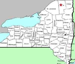
| County: |
Franklin |
| Town: |
Santa Clara |
| USGS Map: |
Santa Clara |
| Waterway: |
St. Regis
River |
| Latitude: |
N 44°
38' 06" |
| Longitude: |
W 74°
27' 21" |
| Drop: |
NA |
| Type: |
NA |
| Region: |
In the hamlet
of Santa Clara |
| Parking: |
NA |
| Trail type: |
NA |
| Length of
hike: |
NA |
| Difficulty: |
NA |
| Accessibility: |
Unknown |
| Name: |
Common |
|
Highways in this area have been renumbered. The main highway
going through the hamlet of Santa Clara was once 72. It is
now NY 458. Just west of where you cross the St. Regis River,
there is a short stretch of road labeled "old Route 72 Road".
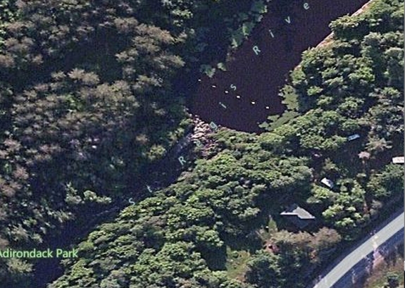
Satellite images show this waterfall very close to the northern
intersection of this road with NY 458. All the property through
here, however, is private, and no one was around when we were there,
so we were not able to secure permission to access it.
If anyone has any additional information on this location, please
feel free to contact us.
For now, this Bingmaps image, which isn't very clear, is the best
we can do.
The St. Regis River flows north into Canada and then empties
into the St. Lawrence River a short distance downstream from the
New York/Quebec border.
Updated: May 18, 2015
|