| Directions
We haven't been able to establish
specific access to this waterfall. |
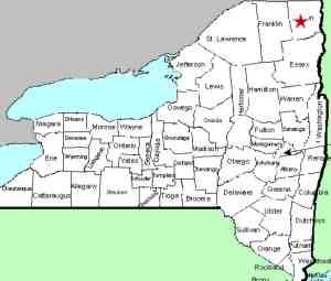
| County: |
Clinton |
| Town: |
Plattsburgh/Schuyler
Falls |
| USGS Map: |
Morrisonville |
| Waterway: |
Saranac River |
| Latitude: |
N 44o 41'
42"
|
| Longitude: |
W 73o
37' 15"
|
| Drop: |
NA |
| Type: |
Slide |
| Region: |
Southwest of
Plattsburgh |
| Parking: |
NA |
| Trail type: |
NA |
| Length of hike: |
NA |
| Difficulty: |
NA |
| Accessibility: |
NA |
| Name: |
Common |
|
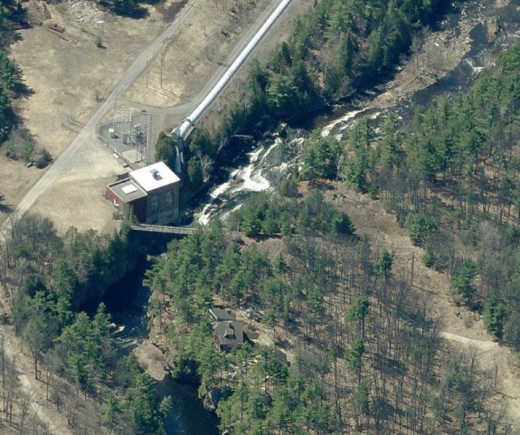
Satellite images of this area show a slide-type waterfall in the
area of a power plant. There is a dam about 0.3 mile
upstream. A penstock feeds the power facility so this would
be a natural appearing drop. We are trying to find if this
is accessible or not.
The image we have posted is courtesy of Bing Maps.
If
anyone has any information on this waterfall, please contact
us.
The Saranac River empties into
Lake Champlain just downstream in the city of Plattsburgh.
|