| Directions
The Hamlet of Colton is located on NY
56, a few miles east of Potsdam. At the intersection
of Main Street, proceed northeast. There are two parking
areas. The first is on the left just before crossing
the bridge. For the second, which is the preferred
route for waterfalls, take the left after crossing the bridge
and drive behind the fire hall.
|
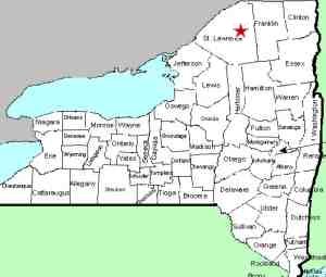
| County: |
St. Lawrence |
| Town: |
Colton |
| USGS Map: |
Colton |
| Waterway: |
Raquette River |
| Latitude: |
N 44°
33' 18" |
| Longitude: |
W 74°
56' 24" |
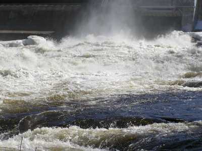
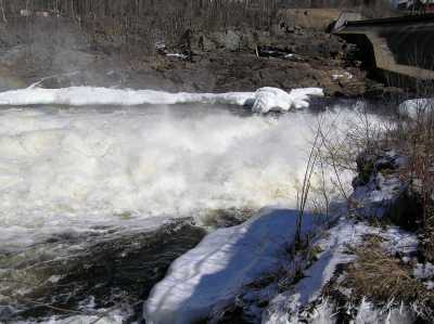
| Drop: |
25' |
| Type: |
Dam |
| Region: |
Off NY 56 near
Colton |
| Parking: |
Unpaved parking
area |
| Trail type: |
Dirt |
| Length of hike: |
0.1 mile |
| Difficulty: |
Easy |
| Accessibility: |
Public |
| Name: |
Common |
|
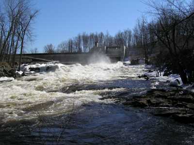
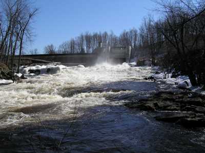
The Colton Dam is the first stop on the
Stone Valley Trail as you hike
the east side of the river from the parking area at the Colton Fire
Hall.
The Raquette River is miles upon miles of one hydro facility
after another and one reservoir after another. Several dams
were built in the area decades ago by Niagara Mohawk, the utility
provider in the region. Now operated as National Grid, they
still own some of the facilities but the majority of them are owned
by Brookfield Power. It is one of the premier hydroelectric
producing areas in the state.
The Raquette River empties into the St. Lawrence River in Massena,
New York.
Last update: Jue 13, 2016
|